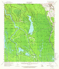
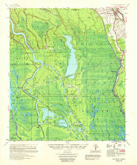
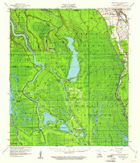
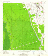
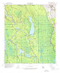
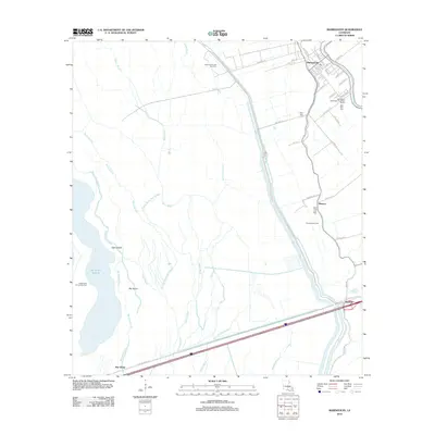
1959 Map of Maringouin
USGS Topo · Published 1965About this map
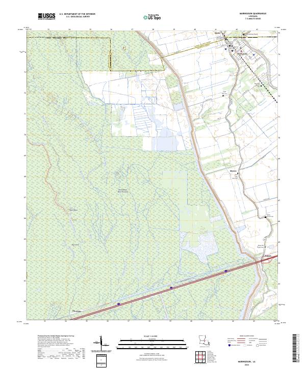
The Atchafalaya Basin Floodway dominates this mid-century landscape, illustrating the complex hydrology where the Atchafalaya River meets a labyrinth of bayous and lakes. The settlement of Maringouin serves as a focal point along the Texas & Pacific RR and Bayou Grosse Tete, supported by the Upper Maringouin Sch and several local congregations including Bethany Ch and Little Zion Ch. The map reveals the region's industrial footprint through the Happytown Oil Field and Plumb Bob Oil Field, while the Whiskey Bay Pilot Channel indicates the engineering efforts to manage water flow through the basin. In the south, the village of Butte La Rose sits near the Butte La Rose Cemetery, isolated by the intricate network of Alabama Bayou and the Grand River. This survey captures the transition of the Louisiana swamp interior into a regulated spillway system and active petroleum producer.
Find a feature on this map
55 named features on this map. Tap any name to fly to it.
Don’t see what you’re looking for? This feature index may not catch every label — zoom into the map to look around manually.
Map Details
Editions of this 1959 Maringouin Map
4 editions found
Historical Maps of Maringouin Through Time
10 maps found
1953 Maringouin
Iberville Parish, LA
1959 Maringouin
Iberville Parish, LA
1969 Maringouin
Iberville Parish, LA
1992 Maringouin
Iberville Parish, LA
1999 Maringouin
Iberville Parish, LA
2012 Maringouin
Iberville Parish, LA
2015 Maringouin
Iberville Parish, LA
2018 Maringouin
Iberville Parish, LA
2020 Maringouin
Iberville Parish, LA
2024 Maringouin
Iberville Parish, LA