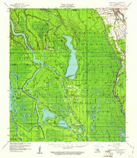
1959 Map of Maringouin
USGS Topo · Published 1961About this map
The Atchafalaya River and its complex network of spillways dominate this mid-century landscape, where the Atchafalaya Floodway dictates the patterns of settlement. Human habitation is concentrated along the eastern edge, following the course of Bayou Grosse Tete, where the Texas & Pacific RR serves small communities like Maringouin and Musson. This area is rich in local heritage, featuring several country churches such as Bethany Ch and Little Zion Ch, alongside the Upper Maringouin Sch and Lower Maringouin Sch which anchored these rural neighborhoods.
Find a feature on this map
59 named features on this map. Tap any name to fly to it.
Don’t see what you’re looking for? This feature index may not catch every label — zoom into the map to look around manually.
Map Details
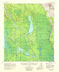
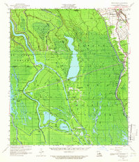
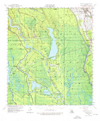
Editions of this 1959 Maringouin Map
4 editions found
Other maps of this area

1906 · Bayou Sara
USGS Topo · 1:125,000

1935 · Osca Bayou
USGS Topo · 1:62,500

1935 · Chicot Lake
USGS Topo · 1:62,500

1939 · St. Martinsville
USGS Topo · 1:62,500

1939 · Fordoche
USGS Topo · 1:62,500

1940 · Grosse Tete
USGS Topo · 1:62,500

1940 · Arnaudville
USGS Topo · 1:62,500

1941 · Loreauville
USGS Topo · 1:62,500

1953 · Cow Bayou
USGS Topo · 1:24,000

1953 · Pigeon Bay
USGS Topo · 1:24,000