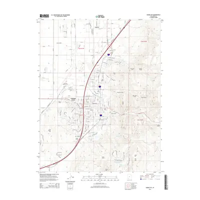
2014 Map of Cedar City
USGS Topo · Published 2014About this map
Cedar City sits at the base of the dramatic Hurricane Cliffs, where the arid floor of the Cedar Valley meets the rising elevations of the Colorado Plateau. This 2014 survey documents the modern layout of the city, including the campus of Southern Utah Univ and the northern expansion toward Enoch. The eastern portion of the sheet is dominated by complex canyon topography, including Cedar Canyon and the winding path of Coal Cr, while the western side features the Cedar City Regional Airport and the geological landmarks of Cross Hollow. Evidence of water management in this high-desert environment is visible at the Greens Lake-Retarding Basin Number Four and Green Lake. Local landmarks like The Red Hill, The Knoll, and The Iron Bowl provide reference points for those familiar with the regional terrain and its distinctive red rock formations.
Find a feature on this map
119 named features on this map. Tap any name to fly to it.
Don’t see what you’re looking for? This feature index may not catch every label — zoom into the map to look around manually.
Map Details
Editions of this 2014 Cedar City Map
This is the sole edition of this map. No revisions or reprints were ever made.
Other maps of this area

1885 · St. George
USGS Topo · 1:250,000

1886 · Kanab
USGS Topo · 1:250,000

1891 · St. George
USGS Topo · 1:250,000

1949 · Cedar City NW
USGS Topo · 1:24,000

1950 · Cedar City NW
USGS Topo · 1:24,000

1950 · Kanarraville
USGS Topo · 1:24,000

1950 · Enoch
USGS Topo · 1:24,000

1950 · Cedar City
USGS Topo · 1:24,000

1950 · Enoch
USGS Topo · 1:62,500

1950 · Cedar City
USGS Topo · 1:62,500