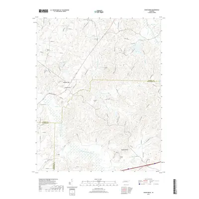
2019 Map of Cedar Grove
USGS Topo · Published 2019About this map
Cedar Grove and the surrounding rural communities of Hickory Flat and Mount Gilead sit at a convergence of several county lines in West Tennessee. The landscape is defined by the hydrologic divide between the Middle Fork Forked Deer River to the south and the Rutherford Fork Obion River in the northeast corner. This modern survey illustrates a network of local roads such as Furgerson Cemetery Rd and Morning Sun Cemetery Rd that connect numerous small family burial grounds, including Spain Cem, Wood Hill Cem, and Oak Grove Cem. The presence of these widely distributed cemeteries alongside larger water bodies like Hoopers Lake and OFDBA 87 3 Lake provides a detailed view of the region's enduring settlement patterns and land use, where small clusters like Law remain tied to the river bottoms and winding creeks of the Tennessee interior.
Find a feature on this map
87 named features on this map. Tap any name to fly to it.
Don’t see what you’re looking for? This feature index may not catch every label — zoom into the map to look around manually.
Map Details
Editions of this 2019 Cedar Grove Map
This is the sole edition of this map. No revisions or reprints were ever made.
Other maps of this area

1936 · Clarksburg
USGS Topo · 1:24,000

1936 · Lexington
USGS Topo · 1:24,000

1936 · Center Ridge
USGS Topo · 1:24,000

1950 · Palmer Shelter
USGS Topo · 1:24,000

1950 · Lexington
USGS Topo · 1:24,000

1950 · Clarksburg
USGS Topo · 1:24,000

1953 · Claybrook
USGS Topo · 1:24,000

1955 · Juno
USGS Topo · 1:24,000

1956 · Blytheville
USGS Topo · 1:250,000

1959 · Blytheville
USGS Topo · 1:250,000