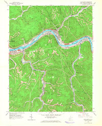
1965 Map of Cedar Grove
USGS Topo · Published 1966About this map
The Kanawha River corridor serves as the industrial heart of this mid-1960s survey, where the New York Central and Chesapeake and Ohio railroads parallel the water on opposite banks. This period of heavy industry is visible through numerous tipples, Substations, and strip mines that ring the valley floor. Settlement is concentrated in river towns like Cedar Grove, Glasgow, and Pratt, while the West Virginia Turnpike cuts across the western portion of the sheet at Chelyan.
Find a feature on this map
74 named features on this map. Tap any name to fly to it.
Don’t see what you’re looking for? This feature index may not catch every label — zoom into the map to look around manually.
Map Details
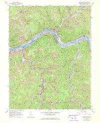
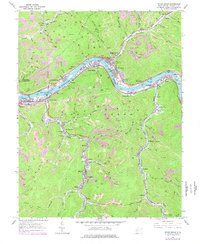
Editions of this 1965 Cedar Grove Map
3 editions found
Other maps of this area

1897 · Kanawha Falls
USGS Topo · 1:125,000

1899 · Charleston
USGS Topo · 1:125,000

1900 · Kanawha Falls
USGS Topo · 1:125,000

1901 · Kanawha Falls
USGS Topo · 1:125,000

1907 · Clendenin
USGS Topo · 1:62,500

1908 · Montgomery
USGS Topo · 1:48,000

1909 · Charleston
USGS Topo · 1:62,500

1909 · Clendenin
USGS Topo · 1:62,500

1909 · Peytona
USGS Topo · 1:48,000

1910 · Montgomery
USGS Topo · 1:62,500