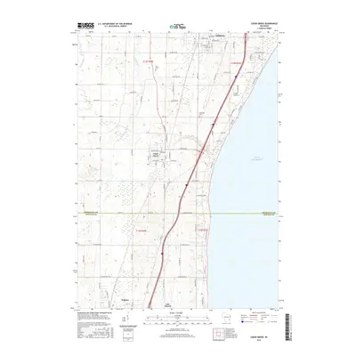
2016 Map of Cedar Grove
USGS Topo · Published 2016About this map
Oostburg and Cedar Grove anchor this coastal survey along the western shoreline of Lake Michigan, where the terrain is shaped by the drainage of the Onion River, Barr Cr, and Sucker Cr. The map documents a corridor of settlement and transport between Sheboygan and Ozaukee Counties, characterized by a grid of rural roads like Hoitink Rd and Sauk Trail Rd. Genealogists will find several key burial sites including Union Cem, Oostburg Cem, and Cedar Grove Cem.
Find a feature on this map
95 named features on this map. Tap any name to fly to it.
Don’t see what you’re looking for? This feature index may not catch every label — zoom into the map to look around manually.
Map Details
Editions of this 2016 Cedar Grove Map
This is the sole edition of this map. No revisions or reprints were ever made.
Other maps of this area

1892 · Port Washington
USGS Topo · 1:62,500

1904 · Port Washington
USGS Topo · 1:62,500

1954 · Sheboygan Falls
USGS Topo · 1:62,500

1954 · Sheboygan South
USGS Topo · 1:62,500

1954 · Sheboygan Falls
USGS Topo · 1:24,000

1954 · Sheboygan South
USGS Topo · 1:24,000

1954 · Milwaukee
USGS Topo · 1:250,000

1958 · Milwaukee
USGS Topo · 1:250,000
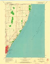
1958 · Port Washington East
USGS Topo · 1:24,000

1959 · Port Washington West
USGS Topo · 1:24,000