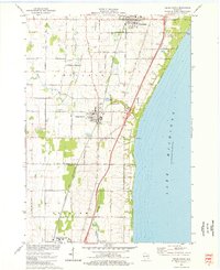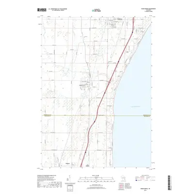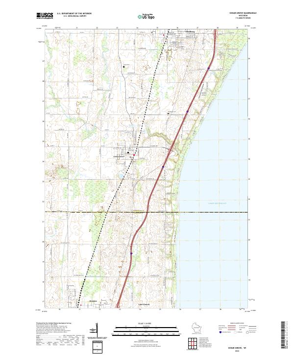
2022 Map of Cedar Grove
USGS Topo · Published 2022About this map
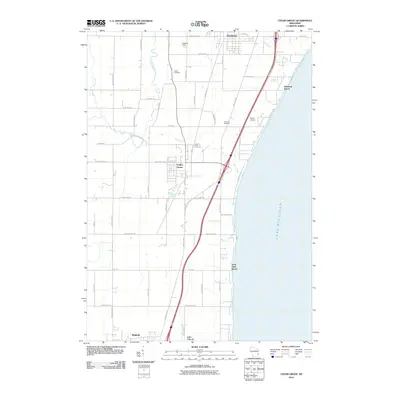
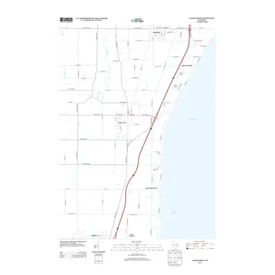
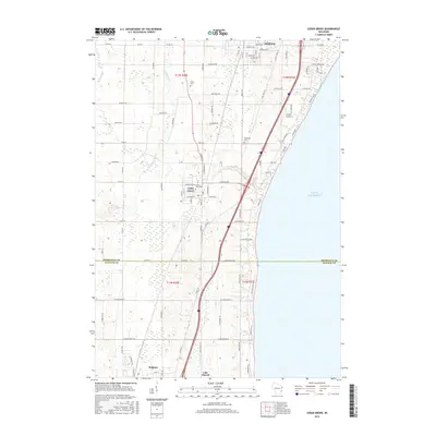
The coastal corridor of Lake Michigan's western shore is defined by the agricultural and residential development of southern Sheboygan County. Cedar Grove and Oostburg serve as the primary population centers, while the village of Belgium sits just across the line in Ozaukee County. The landscape is a grid of farm lanes and county roads, such as Rauwerdink Rd and Hoftiezer Rd, which reflect the early settlement patterns of the region. Family history and local heritage are anchored in sites like Union Cem, Oostburg Cem, and Cedar Grove Cem.
Find a feature on this map
97 named features on this map. Tap any name to fly to it.
Don’t see what you’re looking for? This feature index may not catch every label — zoom into the map to look around manually.
Map Details
Editions of this 2022 Cedar Grove Map
This is the sole edition of this map. No revisions or reprints were ever made.
Historical Maps of Oostburg Through Time
6 maps found