
2015 Map of Cedar Hill
USGS Topo · Published 2015About this map
Ammon sits at the northeastern corner of this 2015 survey, marking a small point of settlement on a landscape defined by ranching and water management. The terrain is bisected by the Converse Co / Platte Co line, where a network of intermittent streams like Spring Cr and Indian Cr carve through the high plains. A series of upland water resources, including the Spring Cr Number 1 Reservoir and Indian Cr Cedar Ridge Number 1 Reservoir, illustrate the necessity of capturing seasonal runoff in this arid environment. Significant geographic landmarks such as Cedar Hill and the southern Whiskey Gulch punctuate the topography, while isolated roads like N Elkhorn Creek Rd and Foy Rd provide the only access through these expansive sections of the Wyoming range.
Find a feature on this map
22 named features on this map. Tap any name to fly to it.
Don’t see what you’re looking for? This feature index may not catch every label — zoom into the map to look around manually.
Map Details
Editions of this 2015 Cedar Hill Map
This is the sole edition of this map. No revisions or reprints were ever made.
Other maps of this area
1943 · Esterbrook
USGS Topo · 1:62,500
1945 · Esterbrook
USGS Topo · 1:62,500
1949 · Shawnee
USGS Topo · 1:24,000
1949 · Irvine
USGS Topo · 1:24,000
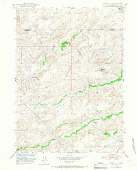
1949 · Cedar Hill
USGS Topo · 1:24,000
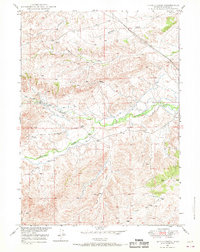
1949 · Spring Creek
USGS Topo · 1:24,000
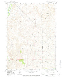
1949 · Dilts Ranch
USGS Topo · 1:24,000
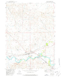
1949 · Orin
USGS Topo · 1:24,000
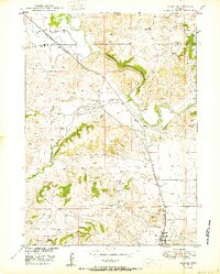
1950 · Glendo
USGS Topo · 1:24,000
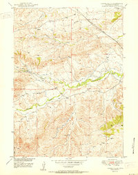
1950 · Spring Creek
USGS Topo · 1:24,000