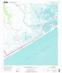
1952 Map of Cedar Lakes West
USGS Topo · Published 1976About this map
Gulf of Mexico tides meet the coastal marshlands of Matagorda and Brazoria counties in this 1952 study. The landscape is defined by the heavy engineering of the Intracoastal Waterway, which cuts a straight line through the wetlands, separating the open sea from the irregular shores of Cedar Lakes and Cowtrap Lake. The presence of an Abandoned Canal and scattered Oil Wells indicates the shifting priorities of local industry, while a lone Pontoon Bridge serves as a vital crossing point over the waterway.
Find a feature on this map
15 named features on this map. Tap any name to fly to it.
Don’t see what you’re looking for? This feature index may not catch every label — zoom into the map to look around manually.
Map Details
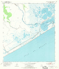
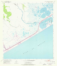
Editions of this 1952 Cedar Lakes West Map
4 editions found
Other maps of this area

1943 · Jones Creek
USGS Topo · 1:31,680

1943 · Cedar Lakes East
USGS Topo · 1:24,000

1951 · Bay City
USGS Topo · 1:250,000

1952 · Cedar Lane NE
USGS Topo · 1:24,000

1952 · Cedar Lakes West
USGS Topo · 1:24,000
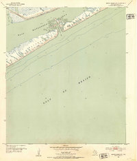
1952 · Brown Cedar Cut
USGS Topo · 1:24,000

1952 · Cedar Lane
USGS Topo · 1:24,000

1952 · Sargent
USGS Topo · 1:24,000

1956 · Bay City
USGS Topo · 1:250,000

1958 · Bay City
USGS Topo · 1:250,000