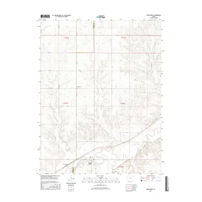
2015 Map of Cedar Point
USGS Topo · Published 2015About this map
Cedar Point sits at the confluence of the Cottonwood River and Cedar Cr, anchoring a landscape defined by the agrarian grid of the Kansas plains. This 2015 study illustrates the enduring rural infrastructure of Chase and Marion counties, where the section lines of the Public Land Survey System are maintained by a network of gravel and dirt roads such as Alfalfa Rd and Bluestem Rd. The importance of water to this prairie environment is evident in the numerous drainages feeding the river, including French Cr, Wildcat Cr, and Bruno Cr. Genealogists will find particular value in the locations of Montgomery Cem, situated north of town, and Drinkwater Cem, located just north of the village center. The map also records the location of Robinson Spring, a notable groundwater feature in the upland areas west of the main settlement.
Find a feature on this map
38 named features on this map. Tap any name to fly to it.
Don’t see what you’re looking for? This feature index may not catch every label — zoom into the map to look around manually.
Map Details
Editions of this 2015 Cedar Point Map
This is the sole edition of this map. No revisions or reprints were ever made.
Other maps of this area
1898 · Cottonwood Falls
USGS Topo · 1:125,000
1955 · Hutchinson
USGS Topo · 1:250,000
1957 · Elmdale
USGS Topo · 1:24,000
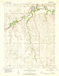
1957 · Florence
USGS Topo · 1:24,000
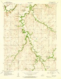
1957 · Wonsevu
USGS Topo · 1:24,000
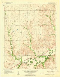
1957 · Cedar Point
USGS Topo · 1:24,000
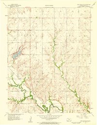
1957 · Lincolnville SW
USGS Topo · 1:24,000
1957 · Hymer
USGS Topo · 1:24,000
1959 · Hutchinson
USGS Topo · 1:250,000
1970 · Lincolnville NE
USGS Topo · 1:24,000