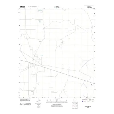
2010 Map of Cedar Point
USGS Topo · Published 2010About this map
Vest Camp Oil Field and Sulimar Oil Field dominate this section of Chaves County, New Mexico, reflecting the intensive energy infrastructure across this arid landscape. The map shows a network of resource extraction and water management, where numerous named windmills and water tanks sustain activity in a region sparse with permanent settlements. Notable landmarks such as Deep Tank Windmill and the whimsically named Scrambled Eggs Windmills serve as vital markers for local navigation and ranching operations.
Find a feature on this map
15 named features on this map. Tap any name to fly to it.
Don’t see what you’re looking for? This feature index may not catch every label — zoom into the map to look around manually.
Map Details
Editions of this 2010 Cedar Point Map
This is the sole edition of this map. No revisions or reprints were ever made.
Other maps of this area
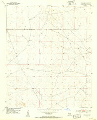
1951 · King Camp
USGS Topo · 1:24,000
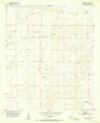
1952 · Connor Well
USGS Topo · 1:24,000
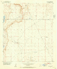
1953 · Basin Well
USGS Topo · 1:24,000

1954 · Carlsbad
USGS Topo · 1:250,000

1954 · Hobbs
USGS Topo · 1:250,000

1954 · Brownfield
USGS Topo · 1:250,000

1955 · Roswell
USGS Topo · 1:250,000

1958 · Carlsbad
USGS Topo · 1:250,000

1958 · Brownfield
USGS Topo · 1:250,000

1958 · Roswell
USGS Topo · 1:250,000