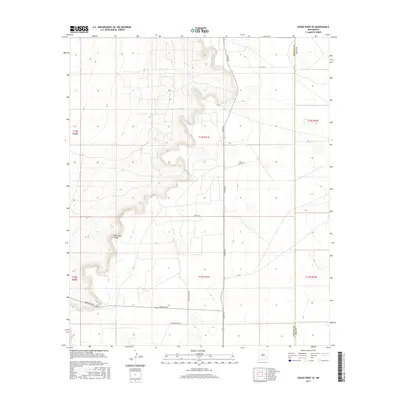
2017 Map of Cedar Point SE
USGS Topo · Published 2017About this map
Mescalero Ridge dominates the western landscape of this 2017 survey, defining the topographical transition between the high plains and the lower basin lands. This portion of the Llano Estacado in Southeastern New Mexico is characterized by its expansive ranching infrastructure and a geometric grid of rural access roads. Key transit corridors like Tower Rd and Aberdeen Rd intersect the open country, providing vital links between isolated property boundaries. The map clearly delineates the administrative border between Chaves and Lea Counties, revealing how ranching family names have been preserved in the landscape through local landmarks such as Medlin Ranch Rd and its variation, Meldin Ranch Rd. These tracks and trails, including Ursula Rd and Venus Rd, provide a precise record of the land-use patterns and property divisions that persist in this arid region.
Find a feature on this map
16 named features on this map. Tap any name to fly to it.
Don’t see what you’re looking for? This feature index may not catch every label — zoom into the map to look around manually.
Map Details
Editions of this 2017 Cedar Point SE Map
This is the sole edition of this map. No revisions or reprints were ever made.
Other maps of this area

1954 · Hobbs
USGS Topo · 1:250,000

1954 · Brownfield
USGS Topo · 1:250,000

1958 · Brownfield
USGS Topo · 1:250,000

1958 · Hobbs
USGS Topo · 1:250,000

1962 · Brownfield
USGS Topo · 1:250,000
1962 · Buckeye
USGS Topo · 1:62,500
1963 · Maljamar
USGS Topo · 1:62,500
1973 · Cedar Point
USGS Topo · 1:24,000
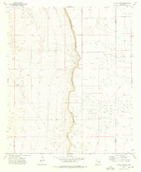
1973 · Caudill Ranch
USGS Topo · 1:24,000
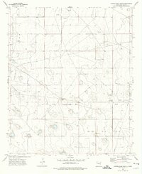
1973 · Cooper-Good Ranch
USGS Topo · 1:24,000