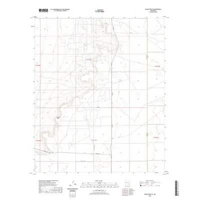
2020 Map of Cedar Point SE
USGS Topo · Published 2020About this map
Mescalero Ridge dominates this high-plains landscape, where the flat mesas of the Llano Estacado meet the rugged breaks of the Pecos River valley. This 2020 topographic survey traces the remote boundary between Chaves County and Lea County, a region defined by its wide-open ranching tracts and minimal modern development. The map reveals a network of isolated rural routes like Medlin Ranch Rd and Meldin Ranch Rd, which follow the section lines of the Public Land Survey System through Townships 14 and 15 South. The presence of these named ranch roads, including Aberdeen Rd and Venus Rd, provides essential navigational landmarks for researchers interested in the legacy of land use and the cattle industry in southeastern New Mexico.
Find a feature on this map
15 named features on this map. Tap any name to fly to it.
Don’t see what you’re looking for? This feature index may not catch every label — zoom into the map to look around manually.
Map Details
Editions of this 2020 Cedar Point SE Map
This is the sole edition of this map. No revisions or reprints were ever made.
Other maps of this area

1954 · Hobbs
USGS Topo · 1:250,000

1954 · Brownfield
USGS Topo · 1:250,000

1958 · Brownfield
USGS Topo · 1:250,000

1958 · Hobbs
USGS Topo · 1:250,000

1962 · Brownfield
USGS Topo · 1:250,000
1962 · Buckeye
USGS Topo · 1:62,500
1963 · Maljamar
USGS Topo · 1:62,500
1973 · Cedar Point
USGS Topo · 1:24,000
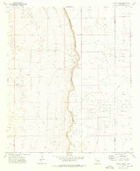
1973 · Caudill Ranch
USGS Topo · 1:24,000
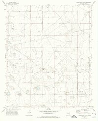
1973 · Cooper-Good Ranch
USGS Topo · 1:24,000