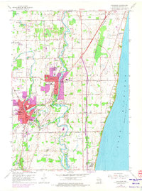
1959 Map of Cedarburg
USGS Topo · Published 1972About this map
The industrial and agricultural corridors of eastern Ozaukee County come into focus in this late 1950s survey, updated with 1971 aerial data to show the expanding footprints of Grafton and Cedarburg. The Milwaukee River and Cedar Creek serve as the geographical spine of the region, where numerous Gravel Pits and Quarries indicate an active period of resource extraction and construction. This map is particularly valuable for its detail on family and community institutions, including rural schools like Bigelow Sch and Washington Sch. Along the Lake Michigan shoreline, the settlement of Ulao sits near the tracks of the Chicago and North Western railroad. To the northwest, the Cedarburg Bog and a cluster of smaller water bodies like Haneman Lake provide a sharp contrast to the nearby development, illustrating the preserved natural landscape alongside the growing residential centers.
Find a feature on this map
50 named features on this map. Tap any name to fly to it.
Don’t see what you’re looking for? This feature index may not catch every label — zoom into the map to look around manually.
Map Details
Editions of this 1959 Cedarburg Map
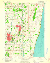
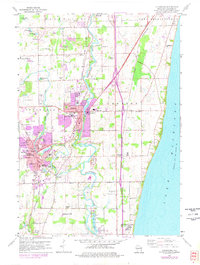
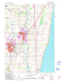
4 editions found
Other maps of this area

1892 · Milwaukee
USGS Topo · 1:62,500

1892 · Waukesha
USGS Topo · 1:62,500

1892 · Port Washington
USGS Topo · 1:62,500

1901 · Milwaukee
USGS Topo · 1:62,500

1901 · Waukesha
USGS Topo · 1:62,500

1904 · West Bend
USGS Topo · 1:62,500

1904 · Port Washington
USGS Topo · 1:62,500

1906 · Waukesha
USGS Topo · 1:62,500

1906 · Milwaukee
USGS Topo · 1:62,500

1954 · Milwaukee
USGS Topo · 1:250,000