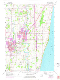
1959 Map of Cedarburg
USGS Topo · Published 1977About this map
The Milwaukee River snakes through the heart of this coastal landscape, passing the established centers of Grafton and Cedarburg before flowing south toward Mequon. This 1959 survey, photorevised in the 1970s, captures a transition from traditional rural industries to suburban growth along the Lake Michigan shoreline. Local commerce is anchored by extensive Gravel Pits and Quarries, while the transportation network is defined by the Chicago and North Western and the Chicago Milwaukee St Paul and Pacific railroads.
Find a feature on this map
50 named features on this map. Tap any name to fly to it.
Don’t see what you’re looking for? This feature index may not catch every label — zoom into the map to look around manually.
Map Details
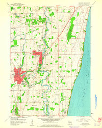
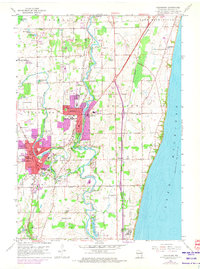
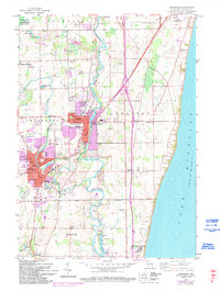
Editions of this 1959 Cedarburg Map
4 editions found
Other maps of this area

1892 · Milwaukee
USGS Topo · 1:62,500

1892 · Waukesha
USGS Topo · 1:62,500

1892 · Port Washington
USGS Topo · 1:62,500

1901 · Milwaukee
USGS Topo · 1:62,500

1901 · Waukesha
USGS Topo · 1:62,500

1904 · West Bend
USGS Topo · 1:62,500

1904 · Port Washington
USGS Topo · 1:62,500

1906 · Waukesha
USGS Topo · 1:62,500

1906 · Milwaukee
USGS Topo · 1:62,500

1954 · Milwaukee
USGS Topo · 1:250,000