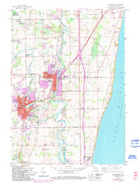
1959 Map of Cedarburg
USGS Topo · Published 1994About this map
The Milwaukee River carves a winding path through this portion of Ozaukee County, connecting the industrial and residential hubs of Saukville, Grafton, and Cedarburg. In the mid-20th century, the landscape is defined by its transition from the dense urban grids of the town centers to the surrounding agricultural lands dotted with family-named landmarks like Moldenhauer Lake and Haneman Lake. The northern reach is dominated by the Cedarburg Bog, while the eastern edge meets the vast expanse of Lake Michigan near the settlement of Ulao.
Find a feature on this map
52 named features on this map. Tap any name to fly to it.
Don’t see what you’re looking for? This feature index may not catch every label — zoom into the map to look around manually.
Map Details
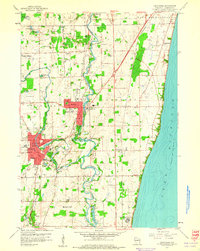
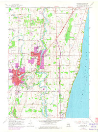
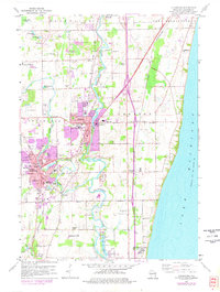
Editions of this 1959 Cedarburg Map
4 editions found
Other maps of this area

1892 · Milwaukee
USGS Topo · 1:62,500

1892 · Waukesha
USGS Topo · 1:62,500

1892 · Port Washington
USGS Topo · 1:62,500

1901 · Milwaukee
USGS Topo · 1:62,500

1901 · Waukesha
USGS Topo · 1:62,500

1904 · West Bend
USGS Topo · 1:62,500

1904 · Port Washington
USGS Topo · 1:62,500

1906 · Waukesha
USGS Topo · 1:62,500

1906 · Milwaukee
USGS Topo · 1:62,500

1954 · Milwaukee
USGS Topo · 1:250,000