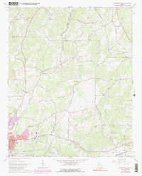
1967 Map of Cedartown East
USGS Topo · Published 1991About this map
The eastern reaches of Cedartown unfold along the Seaboard Coast Line and Central of Georgia railroads, showing a landscape defined by its transit corridors and community institutions. This 1967 survey captures the area during a period of transition, where suburban growth like the Brice Hill Country Club meets established rural landmarks. Significant genealogical and local history markers are found throughout the quadrangle, from the Greenwood Cem and Northview Cem to numerous country churches such as Wesley Chapel, New Bethel Ch, and Lindsey Chapel. To the north and east, the map details smaller settlements like Relay and Brice, while the presence of the County Fairgrounds and Cornelius Moore Field emphasizes the regional importance of this Polk County hub.
Find a feature on this map
47 named features on this map. Tap any name to fly to it.
Don’t see what you’re looking for? This feature index may not catch every label — zoom into the map to look around manually.
Map Details
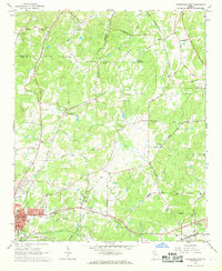
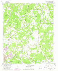
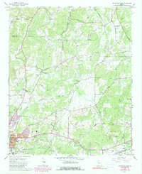
Editions of this 1967 Cedartown East Map
4 editions found
Other maps of this area

1886 · Rome
USGS Topo · 1:125,000

1889 · Tallapoosa
USGS Topo · 1:125,000

1892 · Tallapoosa
USGS Topo · 1:125,000

1897 · Tallapoosa
USGS Topo · 1:125,000

1898 · Rome
USGS Topo · 1:125,000

1899 · Rome
USGS Topo · 1:125,000

1904 · Rome
USGS Topo · 1:125,000

1953 · Atlanta
USGS Topo · 1:250,000

1955 · Rome
USGS Topo · 1:250,000

1957 · Atlanta
USGS Topo · 1:250,000