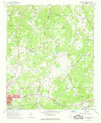
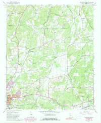
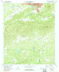
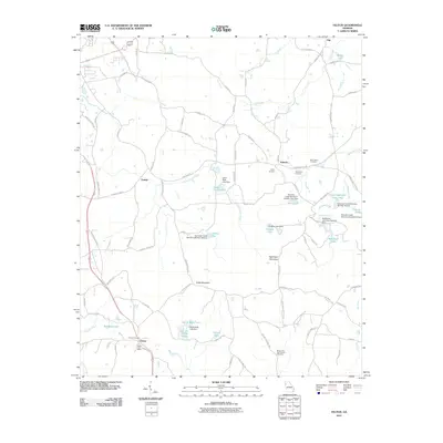
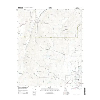
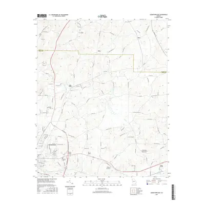
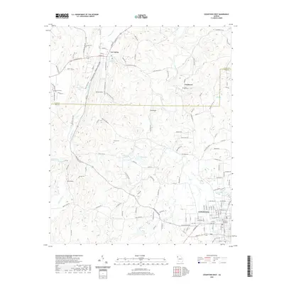
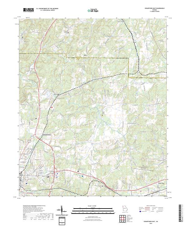
1967 Map of Cedartown East
USGS Topo · Published 1968About this map
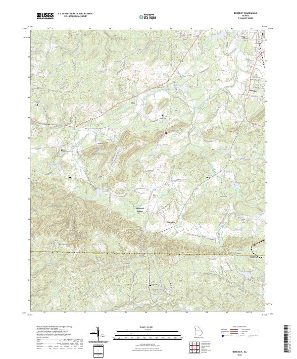
Cedartown serves as the focal point of this Northwest Georgia landscape, where industrial infrastructure meets a dense network of rural communities during the late 1960s. The town is bounded by significant burial grounds including Greenwood Cem and Northview Cem, while its outskirts are shaped by the paths of the Central of Georgia, the Southern Railway, and the Seaboard Coast Line. This intersection of major rail carriers highlights the region's historical role as a transportation hub.
Find a feature on this map
49 named features on this map. Tap any name to fly to it.
Don’t see what you’re looking for? This feature index may not catch every label — zoom into the map to look around manually.
Map Details
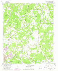
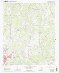
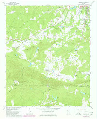
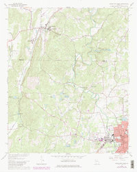
Editions of this 1967 Cedartown East Map
4 editions found
Historical Maps of Cedartown Through Time
36 maps found
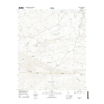
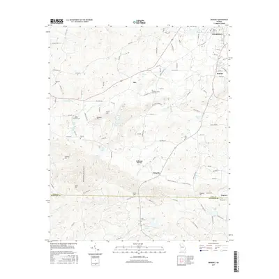
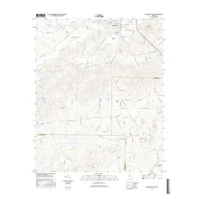
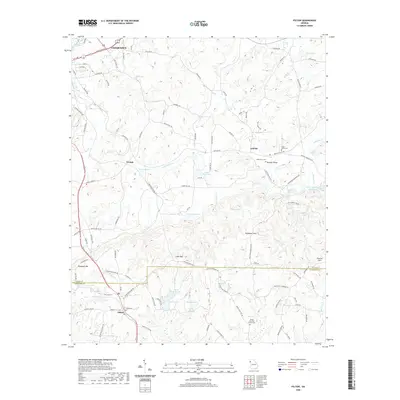
1966 Benedict
Polk County, GA
1967 Cedartown East
Polk County, GA
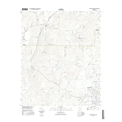
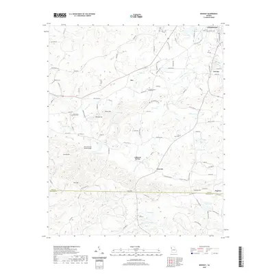
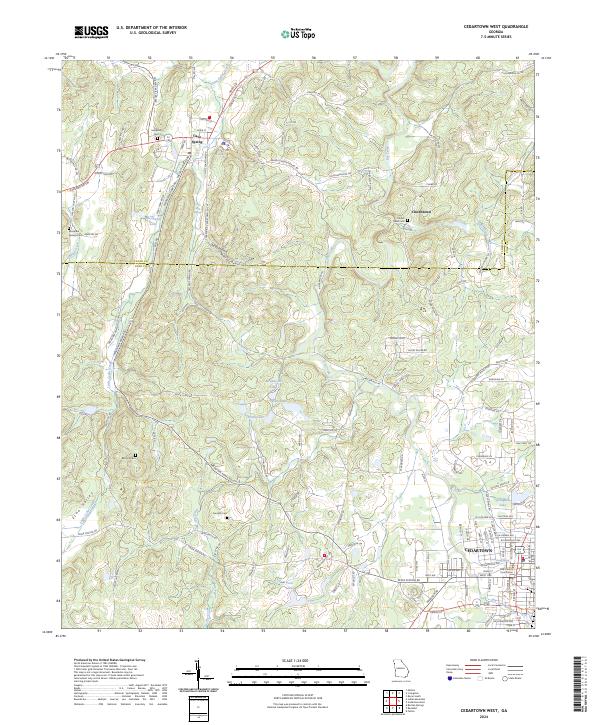
1967 Cedartown West
Polk County, GA
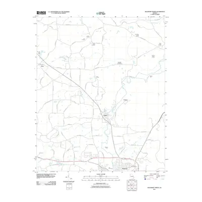
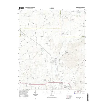
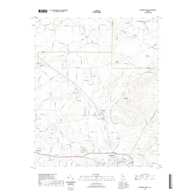
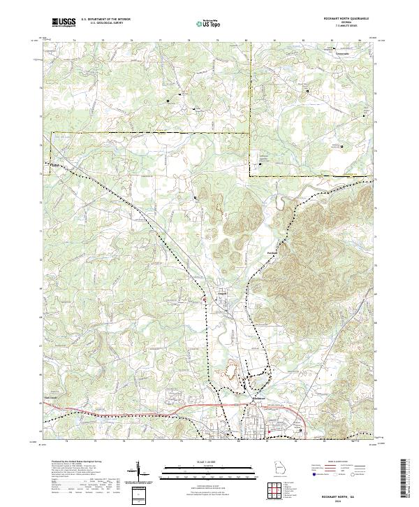
1968 Rockmart North
Polk County, GA
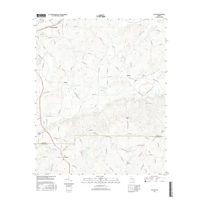
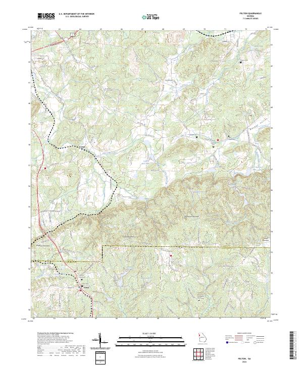
1973 Felton
Polk County, GA
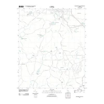
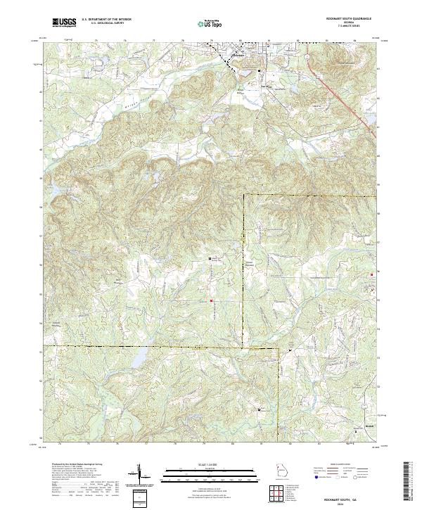
1973 Rockmart South
Polk County, GA
2011 Benedict
Polk County, GA
2011 Cedartown East
Polk County, GA
2011 Cedartown West
Polk County, GA
2011 Felton
Polk County, GA
2011 Rockmart North
Polk County, GA
2011 Rockmart South
Polk County, GA
2014 Benedict
Polk County, GA

2014 Cedartown East
Polk County, GA
2014 Cedartown West
Polk County, GA
2014 Felton
Polk County, GA
2014 Rockmart North
Polk County, GA
2014 Rockmart South
Polk County, GA
2017 Benedict
Polk County, GA
2017 Cedartown East
Polk County, GA
2017 Cedartown West
Polk County, GA
2017 Felton
Polk County, GA
2017 Rockmart North
Polk County, GA
2017 Rockmart South
Polk County, GA
2020 Benedict
Polk County, GA

2020 Cedartown East
Polk County, GA
2020 Cedartown West
Polk County, GA
2020 Felton
Polk County, GA
2020 Rockmart North
Polk County, GA
2020 Rockmart South
Polk County, GA
2024 Benedict
Polk County, GA
2024 Cedartown East
Polk County, GA
2024 Cedartown West
Polk County, GA
2024 Felton
Polk County, GA
2024 Rockmart North
Polk County, GA
2024 Rockmart South
Polk County, GA