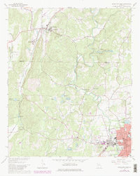
1967 Map of Cedartown West
USGS Topo · Published 1980About this map
The Seaboard Coast Line railroad anchors this survey of northwestern Georgia, cutting through the terrain where the Floyd Co Polk Co border meets. The map provides a detailed view of the growing municipal infrastructure of Cedartown at the southern edge, including Peak Forest Park, the local Hospital, and the City Hall. Further north, the specialized campus of the State School for the Deaf is a prominent landmark within Cave Spring.
Find a feature on this map
54 named features on this map. Tap any name to fly to it.
Don’t see what you’re looking for? This feature index may not catch every label — zoom into the map to look around manually.
Map Details
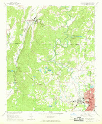
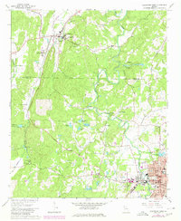
Editions of this 1967 Cedartown West Map
3 editions found
Other maps of this area

1886 · Rome
USGS Topo · 1:125,000

1889 · Tallapoosa
USGS Topo · 1:125,000

1892 · Tallapoosa
USGS Topo · 1:125,000

1897 · Tallapoosa
USGS Topo · 1:125,000

1898 · Rome
USGS Topo · 1:125,000

1899 · Rome
USGS Topo · 1:125,000

1904 · Rome
USGS Topo · 1:125,000

1953 · Atlanta
USGS Topo · 1:250,000

1955 · Rome
USGS Topo · 1:250,000

1957 · Atlanta
USGS Topo · 1:250,000