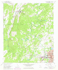
1967 Map of Cedartown West
USGS Topo · Published 1980About this map
Cave Spring and its State School for the Deaf anchor the northern landscape of this northwest Georgia survey, where the rolling foothills meet the agricultural valleys of the Coosa basin. The terrain is defined by the winding course of Cedar Creek and a network of historic settlements like Chubbtown, centered on Chubb Chapel. To the south, the city of Cedartown appears as a growing municipal hub, featuring landmarks such as the Cherokee Country Club, Peek Forest Park, and several local schools.
Find a feature on this map
57 named features on this map. Tap any name to fly to it.
Don’t see what you’re looking for? This feature index may not catch every label — zoom into the map to look around manually.
Map Details
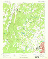
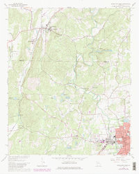
Editions of this 1967 Cedartown West Map
3 editions found
Other maps of this area

1886 · Rome
USGS Topo · 1:125,000

1889 · Tallapoosa
USGS Topo · 1:125,000

1892 · Tallapoosa
USGS Topo · 1:125,000

1897 · Tallapoosa
USGS Topo · 1:125,000

1898 · Rome
USGS Topo · 1:125,000

1899 · Rome
USGS Topo · 1:125,000

1904 · Rome
USGS Topo · 1:125,000

1953 · Atlanta
USGS Topo · 1:250,000

1955 · Rome
USGS Topo · 1:250,000

1957 · Atlanta
USGS Topo · 1:250,000