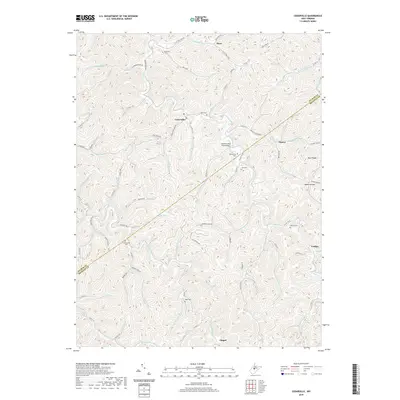
2019 Map of Cedarville
USGS Topo · Published 2019About this map
Cedarville and the surrounding West Virginia hill country are meticulously documented in this contemporary survey, highlighting a landscape where historical family names and remote crossroads endure. The map traces the winding course of Cedar Creek and its many tributaries, such as Bull Run and Rockcamp Run, which dictate the local road network. For those researching local heritage, the inclusion of numerous small family burial grounds is particularly significant. Landmarks such as Moss Cem, Burk Cem, and the Currycomb Cem are positioned along the ridges and hollows, often near historical settlement nodes like Flower or Cutlips. A notable engineering feature is the Butchers Run Truss Bridge, which crosses a tributary east of the Gilmer Co Braxton Co line. The terrain is defined by steep relief, as seen at Buck Ridge and the deep drainage of Baker Hollow, illustrating the enduring isolation and topographical character of this Appalachian region.
Find a feature on this map
88 named features on this map. Tap any name to fly to it.
Don’t see what you’re looking for? This feature index may not catch every label — zoom into the map to look around manually.
Map Details
Editions of this 2019 Cedarville Map
This is the sole edition of this map. No revisions or reprints were ever made.
Other maps of this area
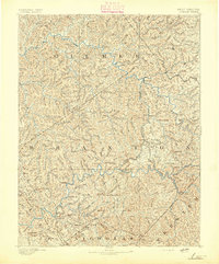
1893 · Sutton
USGS Topo · 1:125,000
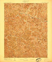
1906 · Glenville
USGS Topo · 1:62,500
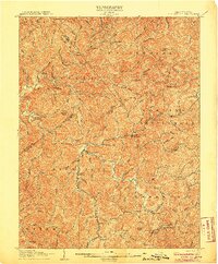
1906 · Burnsville
USGS Topo · 1:62,500
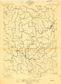
1908 · Gassaway
USGS Topo · 1:48,000
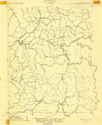
1908 · Sutton
USGS Topo · 1:48,000
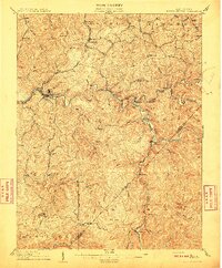
1910 · Sutton Special
USGS Topo · 1:62,500
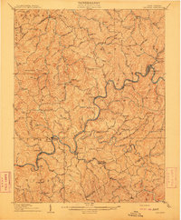
1910 · Gassaway
USGS Topo · 1:62,500
1925 · Glenville
USGS Topo · 1:62,500
1925 · Burnsville
USGS Topo · 1:62,500
1927 · Burnsville
USGS Topo · 1:62,500