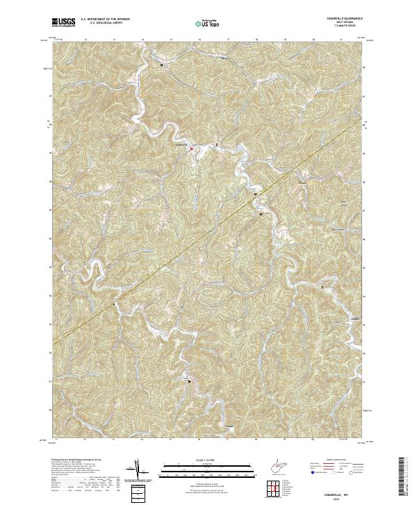
2023 Map of Cedarville
USGS Topo · Published 2023About this map
The boundary between Gilmer Co and Braxton Co cuts diagonally across this landscape of high ridges and narrow creek bottoms. Small hilltop and valley settlements like Cedarville, Moss, and Cutlips serve as anchors for a network of country roads following the winding course of Cedar Creek and its many tributaries. The area's genealogical depth is evident in the numerous family cemeteries tucked away on hillsides, including Moss Cem, Burk Cem, and Moyers Cem. Local geography is defined by prominent features such as Buck Ridge and Rich Bench, while the intricate drainage system of Right Fork Cedar Creek and Left Fork Steer Creek illustrates the complex topography of the West Virginia highlands. The placement of Chapel and Rutherford along these remote routes points to a long history of small, self-sufficient communities established along the region's ridgelines and hollows.
Find a feature on this map
82 named features on this map. Tap any name to fly to it.
Don’t see what you’re looking for? This feature index may not catch every label — zoom into the map to look around manually.
Map Details
Editions of this 2023 Cedarville Map
This is the sole edition of this map. No revisions or reprints were ever made.
Other maps of this area

1893 · Sutton
USGS Topo · 1:125,000

1906 · Glenville
USGS Topo · 1:62,500

1906 · Burnsville
USGS Topo · 1:62,500

1908 · Gassaway
USGS Topo · 1:48,000

1908 · Sutton
USGS Topo · 1:48,000

1910 · Sutton Special
USGS Topo · 1:62,500

1910 · Gassaway
USGS Topo · 1:62,500

1925 · Glenville
USGS Topo · 1:62,500

1925 · Burnsville
USGS Topo · 1:62,500

1927 · Burnsville
USGS Topo · 1:62,500