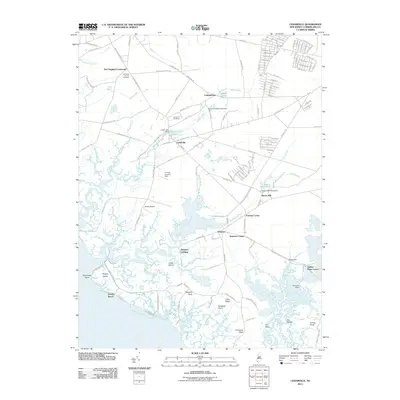
2011 Map of Cedarville
USGS Topo · Published 2011About this map
Cedarville and the surrounding Fairfield Township wetlands are meticulously detailed in this early 21st-century study of the Delaware Bay shoreline. The map documents a landscape defined by its transition from inland agricultural and residential pockets to the expansive tidal marshes of The Glades. Notable landmarks for local historians include the Old Stone Church and its adjacent Old Stone Church Cemetery, as well as the Cedar Hill Cemetery near the center of the township.
Find a feature on this map
164 named features on this map. Tap any name to fly to it.
Don’t see what you’re looking for? This feature index may not catch every label — zoom into the map to look around manually.
Map Details
Editions of this 2011 Cedarville Map
This is the sole edition of this map. No revisions or reprints were ever made.
Other maps of this area

1890 · Maurice Cove
USGS Topo · 1:62,500

1890 · Bay Side
USGS Topo · 1:62,500

1890 · Bridgeton
USGS Topo · 1:62,500

1891 · Maurice Cove
USGS Topo · 1:62,500

1894 · Bay Side
USGS Topo · 1:62,500

1894 · Bridgeton
USGS Topo · 1:62,500

1899 · Vineland
USGS Topo · 1:125,000

1919 · Vineland
USGS Topo · 1:125,000
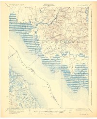
1931 · Bay Side
USGS Topo · 1:62,500

1934 · Bowers
USGS Topo · 1:48,000
Featured Places
- Fairfield Township, NJ
- Lawrence Township, NJ
- Downe Township, NJ
- Watsons Corner, Downe Township
- Cedarville, Lawrence Township