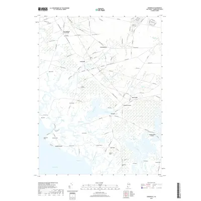
2019 Map of Cedarville
USGS Topo · Published 2019About this map
The coastal wetlands and tidal guts of Cumberland County define this landscape, where the Delaware Bay meets an intricate network of waterways like Nantuxent Creek and Beadon Creek. The settlement of Cedarville serves as a central hub, surrounded by smaller communities such as Newport, Lummistown, and New England Crossroads. This coastal area is deeply connected to its maritime environment, featuring several prominent necks and points including Sayres Neck, Newport Neck, and Fortescue Neck.
Find a feature on this map
138 named features on this map. Tap any name to fly to it.
Don’t see what you’re looking for? This feature index may not catch every label — zoom into the map to look around manually.
Map Details
Editions of this 2019 Cedarville Map
This is the sole edition of this map. No revisions or reprints were ever made.
Other maps of this area

1890 · Maurice Cove
USGS Topo · 1:62,500

1890 · Bay Side
USGS Topo · 1:62,500

1890 · Bridgeton
USGS Topo · 1:62,500

1891 · Maurice Cove
USGS Topo · 1:62,500

1894 · Bay Side
USGS Topo · 1:62,500

1894 · Bridgeton
USGS Topo · 1:62,500

1899 · Vineland
USGS Topo · 1:125,000

1919 · Vineland
USGS Topo · 1:125,000
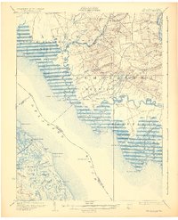
1931 · Bay Side
USGS Topo · 1:62,500

1934 · Bowers
USGS Topo · 1:48,000
Featured Places
- Fairfield Township, NJ
- Lawrence Township, NJ
- Downe Township, NJ
- Watsons Corner, Downe Township
- Cedarville, Lawrence Township