
1960 Map of Celina
USGS Topo · Published 1961About this map
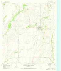
Celina serves as the primary hub of this North Texas agricultural landscape during the early 1960s, situated along the St Louis San Francisco and Texas (Frisco) railroad line. The map illustrates a transitional period for the area, where traditional rural life, evidenced by Old Union Cem and Crossroads Cem, begins to intersect with modern infrastructure like a pipeline and TV Towers. Small outposts such as Alla and Parvin anchor the corners of the quadrangle, while the drainage of Little Elm Creek and Wilson Creek dictates the movement of cattle and crops.
Find a feature on this map
21 named features on this map. Tap any name to fly to it.
Don’t see what you’re looking for? This feature index may not catch every label — zoom into the map to look around manually.
Map Details
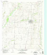
Editions of this 1960 Celina Map
Other maps of this area

1929 · Frisco
USGS Topo · 1:62,500

1929 · McKinney
USGS Topo · 1:62,500

1954 · Sherman
USGS Topo · 1:250,000

1958 · Sherman
USGS Topo · 1:250,000

1960 · Frisco
USGS Topo · 1:24,000

1960 · Aubrey
USGS Topo · 1:24,000
1960 · Little Elm
USGS Topo · 1:24,000
1960 · McKinney West
USGS Topo · 1:24,000

1961 · Gunter
USGS Topo · 1:24,000

1961 · Pilot Point
USGS Topo · 1:24,000