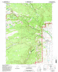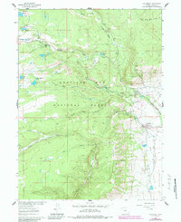
1961 Map of Centennial
USGS Topo · Published 1984About this map
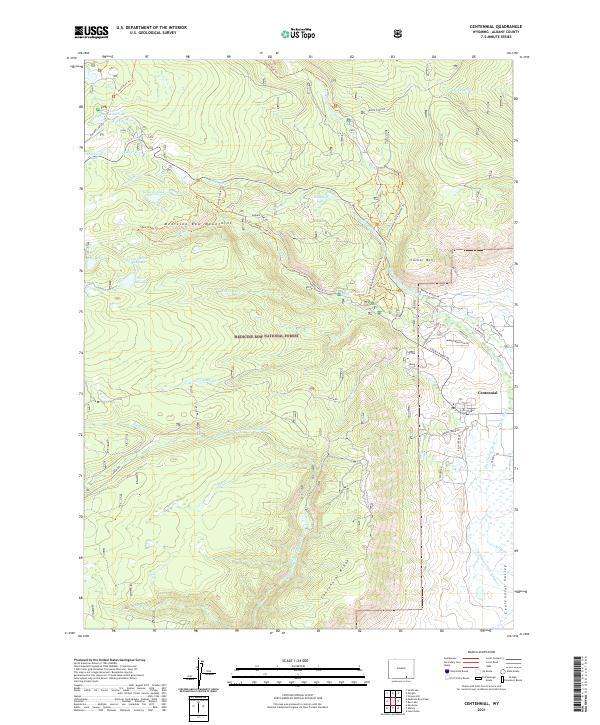
Centennial sits at the foot of the Centennial Ridge, serving as a gateway to the high-country recreation and resources of the Medicine Bow National Forest. The landscape is defined by the complex drainage systems of the North Fork Little Laramie River and Middle Fork Little Laramie River, which supported early 20th-century water management projects like Adams Ditch and Markley DITCH. Educational and religious outposts are notable in this alpine environment, including the University of Wyoming Science Camp and an Open Air Chapel near Little Brooklyn Lake. The transition from the Union Pacific railhead in town to the higher elevations is marked by sites like the Medicine Bow Ski Area and the Brooklyn Lake Guard Station. This map reveals a community deeply tied to both academic research and the timber and water management of the surrounding forest during the early 1960s.
Find a feature on this map
48 named features on this map. Tap any name to fly to it.
Don’t see what you’re looking for? This feature index may not catch every label — zoom into the map to look around manually.
Map Details
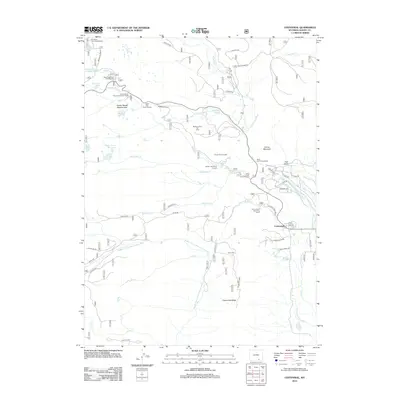
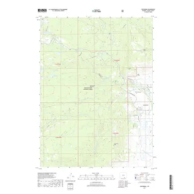
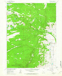
Editions of this 1961 Centennial Map
3 editions found
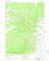
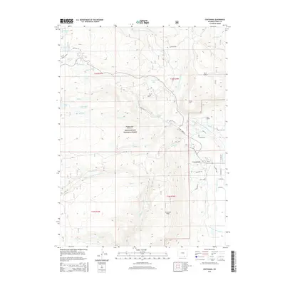
Historical Maps of Centennial Through Time
6 maps found