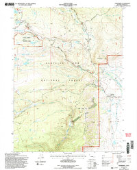
1992 Map of Centennial
USGS Topo · Published 1996About this map
Centennial sits at the foot of the Snowy Range, where the plains of Albany County meet the steep eastern slopes of the Medicine Bow National Forest. This 1990s revision details a landscape defined by seasonal recreation and higher education, featuring the Snowy Range Ski Area and the University of Wyoming Science Camp along the Snowy Range Road. The high-altitude terrain is dotted with glacial features such as Brooklyn Lake, Salty Lake, and Swastika Lake, which feed the various forks of the Little Laramie River.
Find a feature on this map
43 named features on this map. Tap any name to fly to it.
Don’t see what you’re looking for? This feature index may not catch every label — zoom into the map to look around manually.
Map Details
Editions of this 1992 Centennial Map
2 editions found
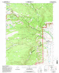
Other maps of this area

1906 · Medicine Bow
USGS Topo · 1:125,000

1908 · Medicine Bow
USGS Topo · 1:125,000

1954 · Rawlins
USGS Topo · 1:250,000

1958 · Rawlins
USGS Topo · 1:250,000

1961 · Sand Lake
USGS Topo · 1:24,000
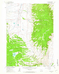
1961 · Lake Owen
USGS Topo · 1:24,000
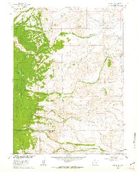
1961 · Strouss Hill
USGS Topo · 1:24,000

1961 · Medicine Bow Peak
USGS Topo · 1:24,000
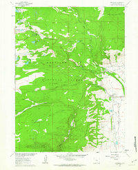
1961 · Centennial
USGS Topo · 1:24,000
1961 · Morgan
USGS Topo · 1:24,000