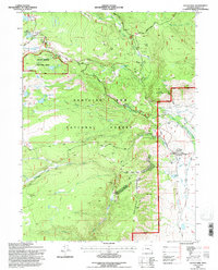
1992 Map of Centennial
USGS Topo · Published 1996About this map
The settlement of Centennial serves as the gateway to the high peaks of the Medicine Bow National Forest in this early 1990s record. The landscape is defined by the sharp transition from the valley floor, where the Union Pacific rail line terminates near the North Fork Little Laramie River, to the steep rise of Centennial Ridge. This area shows a unique mix of recreation, education, and resource extraction, featuring the Snowy Range Ski Area alongside the University of Wyoming Science Camp and the Open Air Chapel.
Find a feature on this map
50 named features on this map. Tap any name to fly to it.
Don’t see what you’re looking for? This feature index may not catch every label — zoom into the map to look around manually.
Map Details
Editions of this 1992 Centennial Map
2 editions found
Other maps of this area

1906 · Medicine Bow
USGS Topo · 1:125,000

1908 · Medicine Bow
USGS Topo · 1:125,000

1954 · Rawlins
USGS Topo · 1:250,000

1958 · Rawlins
USGS Topo · 1:250,000

1961 · Sand Lake
USGS Topo · 1:24,000
1961 · Lake Owen
USGS Topo · 1:24,000
1961 · Strouss Hill
USGS Topo · 1:24,000

1961 · Medicine Bow Peak
USGS Topo · 1:24,000
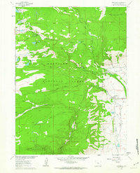
1961 · Centennial
USGS Topo · 1:24,000
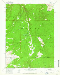
1961 · Morgan
USGS Topo · 1:24,000