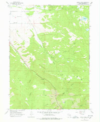
1967 Map of Center Creek
USGS Topo · Published 1978About this map
Heber Valley opens into a landscape defined by the livestock and timber economy of the late 1960s, where corrugated Hogsback Ridge separates the high country of the Uinta National Forest from the lower pastures. The map details a complex network of resource management and rural infrastructure, from the Jones Reservoir and Witts Lake to multiple Corrals and a Telephone line cutting across the terrain.
Find a feature on this map
35 named features on this map. Tap any name to fly to it.
Don’t see what you’re looking for? This feature index may not catch every label — zoom into the map to look around manually.
Map Details
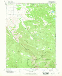
Editions of this 1967 Center Creek Map
2 editions found
Other maps of this area

1885 · Salt Lake
USGS Topo · 1:250,000

1900 · Coalville
USGS Topo · 1:125,000

1903 · Coalville
USGS Topo · 1:125,000

1907 · Strawberry Valley
USGS Topo · 1:125,000

1909 · Strawberry Valley
USGS Topo · 1:125,000

1954 · Salt Lake City
USGS Topo · 1:250,000

1955 · Heber
USGS Topo · 1:24,000

1958 · Salt Lake City
USGS Topo · 1:250,000

1960 · Salt Lake City
USGS Topo · 1:250,000
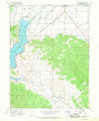
1966 · Charleston
USGS Topo · 1:24,000