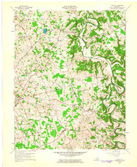
1961 Map of Center
USGS Topo · Published 1963About this map
The Little Barren River carves a winding path across this landscape, defining the jagged boundaries where Hart, Green, and Metcalfe counties meet. In the early 1960s, this region was characterized by small, dispersed rural settlements and a significant concentration of community infrastructure, including Monroe and the village of Center. The map reveals a high density of family and church cemeteries, such as the Macedonia Ch Cem and Bastin Cem, which serve as vital markers for local genealogical research. Distinctive geographical features like Hundred Acre Pond and the dramatic loop at Horseshoe Bend highlight the varying terrain, while multiple Gas Wells and crossing pipelines point to the underground resource extraction active during this period. The network of light-duty roads connects dozens of small landmarks, from Shady Grove Ch to the high point at Pilot Knob.
Find a feature on this map
72 named features on this map. Tap any name to fly to it.
Don’t see what you’re looking for? This feature index may not catch every label — zoom into the map to look around manually.
Map Details
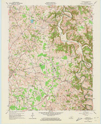
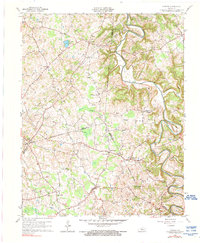
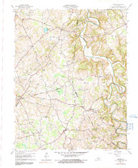
Editions of this 1961 Center Map
4 editions found
Other maps of this area

1934 · Munfordville
USGS Topo · 1:48,000

1935 · Horse Cave
USGS Topo · 1:48,000

1937 · Munfordville
USGS Topo · 1:62,500

1938 · Horse Cave
USGS Topo · 1:62,500

1953 · Sulphur Well
USGS Topo · 1:24,000

1953 · Hudgins
USGS Topo · 1:24,000

1953 · Summersville
USGS Topo · 1:24,000

1953 · Exie
USGS Topo · 1:24,000

1953 · Center
USGS Topo · 1:24,000

1953 · East Fork
USGS Topo · 1:24,000