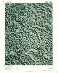
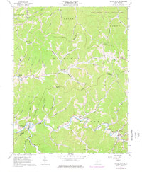
1976 Map of Center Point
USGS Topo · Published 1979This historical map portrays the area of Center Point in 1976, primarily covering Doddridge County as well as portions of Wetzel County and Tyler County. Featuring a scale of 1:24000, this map provides a highly detailed snapshot of the terrain, roads, buildings, counties, and historical landmarks in the Center Point region at the time. Published in 1979, it is the sole known edition of this map.
Find a feature on this map
3 named features on this map. Tap any name to fly to it.
Don’t see what you’re looking for? This feature index may not catch every label — zoom into the map to look around manually.
Map Details
Editions of this 1976 Center Point Map
This is the sole edition of this map. No revisions or reprints were ever made.
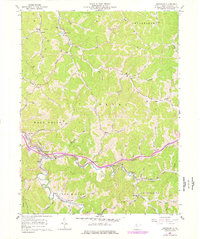
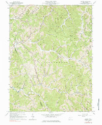
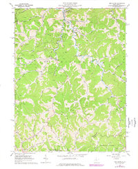
Historical Maps of Doddridge County Through Time
12 maps found
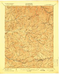
1905 Centerpoint
Doddridge County, WV
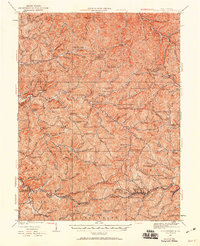
1924 Centerpoint
Doddridge County, WV
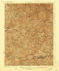
1925 Centerpoint
Doddridge County, WV
1961 Cedar Point
Doddridge County, WV
1961 Smithburg
Doddridge County, WV
1964 Oxford
Doddridge County, WV
1965 New Milton
Doddridge County, WV
1976 Center Point
Doddridge County, WV
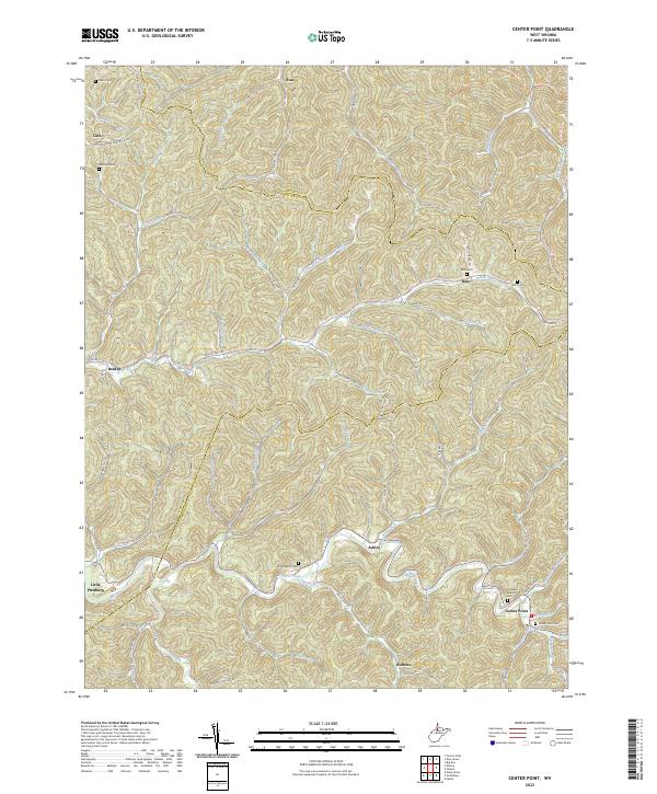
2023 Center Point
Doddridge County, WV
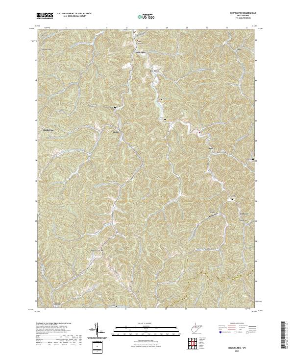
2023 New Milton
Doddridge County, WV
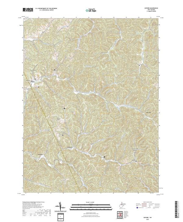
2023 Oxford
Doddridge County, WV
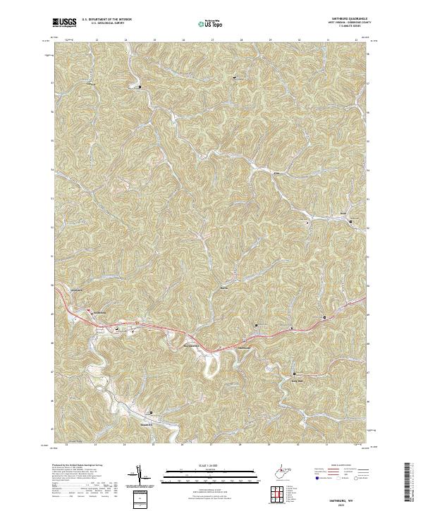
2023 Smithburg
Doddridge County, WV