Loading...
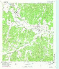
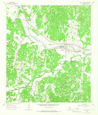
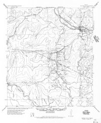
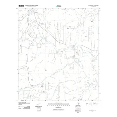
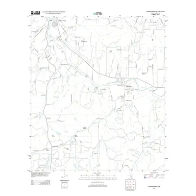
Loading map...1964 Map of Center Point
USGS Topo · Published 1983About this map
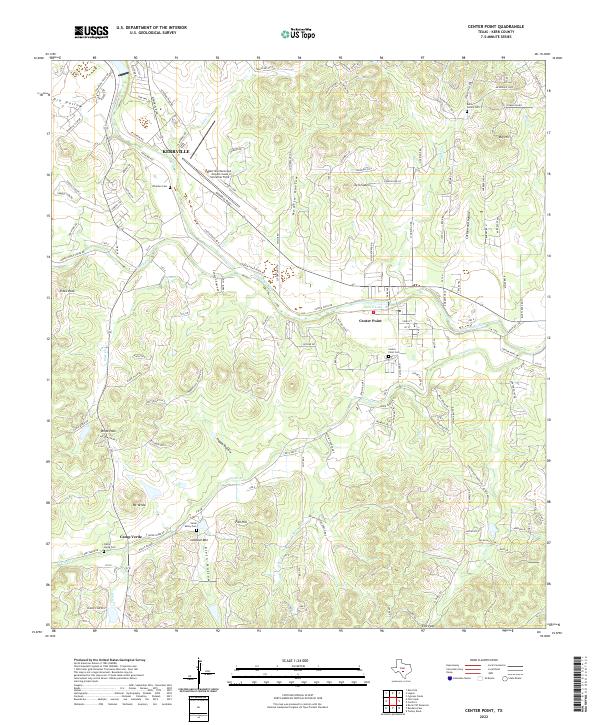
The Guadalupe River meanders through this portion of the Texas Hill Country, anchoring a landscape of established ranches and historic creek crossings. Settled life centers on Center Point, where the river is held by Center Point Lake near the Center Point Cem. The map captures a transition in transportation, showing an Old Railroad Grade alongside modern developments like the Kerrville Municipal Airport.
Find a feature on this map
52 named features on this map. Tap any name to fly to it.
Don’t see what you’re looking for? This feature index may not catch every label — zoom into the map to look around manually.
Map Details
Date Portrayed1964
Date Published1983
PublisherU.S. Geological Survey
Map TypeTopographic
Scale1:24,000
Physical Dimensions23 x 27 inches
Editions of this 1964 Center Point Map
2 editions found
Historical Maps of Kerrville Through Time
7 maps found
Featured Locations
Source Details
SourceU.S. Geological Survey
CopyrightPublic Domain