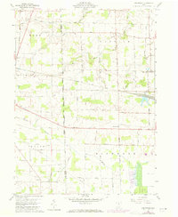
1960 Map of Centerton
USGS Topo · Published 1973About this map
Agricultural lands of the Connecticut Reserve define this portion of north-central Ohio, where the townships of Reed, Norwich, Venice, and Richmond converge. The landscape is marked by a legacy of early surveying, specifically the Western Boundary Lands Based on First Principal Meridian Connecticut Reserve. This boundary dictates the grid of rural roads like Scottwood Road and Coder Road that partition the drainage basins of Honey Creek and Brokenknife Creek. The tiny settlement of Centerton serves as a local hub at the intersection of the Baltimore and Ohio railroad, while further west, the Norfolk and Western line bypasses Omar. Local heritage is anchored by rural institutions such as Bethel Ch, Pisgah Ch, and the Township Sch, alongside the Omar Cem and a centralized Townhall located near Bullhead Road.
Find a feature on this map
25 named features on this map. Tap any name to fly to it.
Don’t see what you’re looking for? This feature index may not catch every label — zoom into the map to look around manually.
Map Details
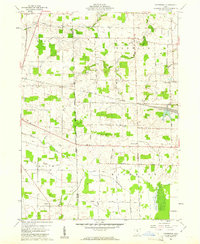
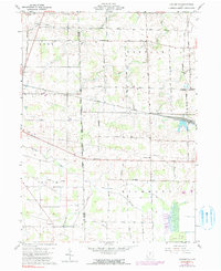
Editions of this 1960 Centerton Map
3 editions found
Other maps of this area

1915 · Norwalk
USGS Topo · 1:62,500

1915 · Siam
USGS Topo · 1:62,500

1915 · Bucyrus
USGS Topo · 1:62,500

1915 · Crestline
USGS Topo · 1:62,500

1943 · Bucyrus
USGS Topo · 1:62,500

1943 · Crestline
USGS Topo · 1:62,500

1944 · Norwalk
USGS Topo · 1:62,500

1950 · Marion
USGS Topo · 1:250,000

1956 · Toledo
USGS Topo · 1:250,000

1960 · Willard
USGS Topo · 1:24,000