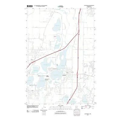
2022 Map of Centerville
USGS Topo · Published 2022About this map
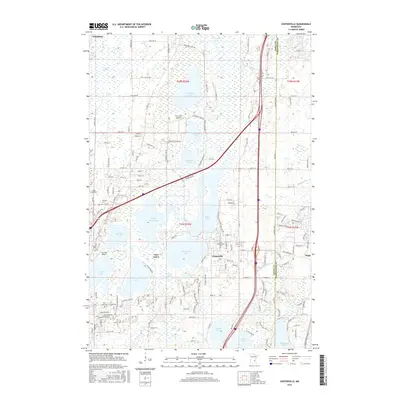
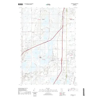
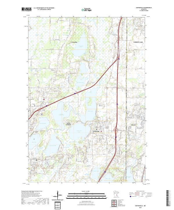
Centerville and Lino Lakes are defined by a complex network of glacial basins and marshes at the border of Anoka and Washington counties. This 2022 survey illustrates the modern residential expansion surrounding historical water bodies like Peltier Lake, Centerville Lake, and George Watch Lake. The area's aviation history is represented by Lino Air Park and Surfside Airport, while its local heritage is preserved in sites such as Saint Genevieve Cem and the Rice Lake Methodist Cem. The drainage patterns of Rice Creek and Hardwood Cr connect these numerous lakes, creating a landscape where suburban development must navigate the extensive wetlands of Wiregrass Marsh and Reshanau Lake. The map provides a contemporary view of these established communities as they continue to grow within a unique lacustrine environment north of the Twin Cities.
Find a feature on this map
163 named features on this map. Tap any name to fly to it.
Don’t see what you’re looking for? This feature index may not catch every label — zoom into the map to look around manually.
Map Details
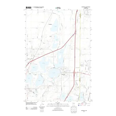
Editions of this 2022 Centerville Map
This is the sole edition of this map. No revisions or reprints were ever made.
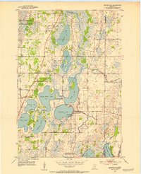
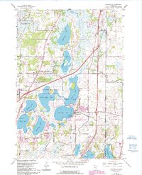
Historical Maps of Lino Lakes Through Time
7 maps found