
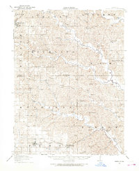
1981 Map of Centerville
USGS Topo · Published 1982About this map
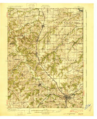
Centerville serves as the focal point for this early 1980s look at the rolling borderlands between Iowa and Missouri. The landscape is defined by the massive impoundment of Rathbun Lake, created by the Rathbun Dam, which significantly altered the local drainage patterns of the Chariton River. In the east, the Des Moines River cuts through the terrain near Eldon and Leando, where the topography becomes increasingly varied near Lacey-Keosauqua State Park.
Find a feature on this map
102 named features on this map. Tap any name to fly to it.
Don’t see what you’re looking for? This feature index may not catch every label — zoom into the map to look around manually.
Map Details
Editions of this 1981 Centerville Map
This is the sole edition of this map. No revisions or reprints were ever made.
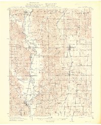
Other maps of this area

1903 · Kahoka
USGS Topo · 1:125,000

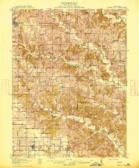
1903 · Edina
USGS Topo · 1:125,000

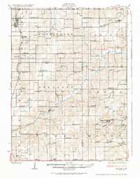
1911 · Queen City
USGS Topo · 1:62,500
1912 · Green City
USGS Topo · 1:62,500
1913 · Queen City
USGS Topo · 1:62,500
1914 · Green City
USGS Topo · 1:62,500
1924 · Melcher
USGS Topo · 1:62,500
1929 · Albia
USGS Topo · 1:62,500

1935 · Russell
USGS Topo · 1:62,500

1938 · Russell
USGS Topo · 1:62,500