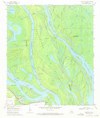
1970 Map of Centerville NW
USGS Topo · Published 1971About this map
The settlement of Charenton sits at the southwestern edge of this 1970s landscape, serving as a gateway to the intricate hydraulics of the Atchafalaya Basin Floodway. The terrain is dominated by the Atchafalaya Basin Main Channel, which flows between significant landforms like Taylor Point and Myette Point. This area reflects a highly managed water system, where the construction of a massive Levee and the presence of a Gaging Station indicate the critical role of flood control and navigation in the Atchafalaya swamplands.
Find a feature on this map
22 named features on this map. Tap any name to fly to it.
Don’t see what you’re looking for? This feature index may not catch every label — zoom into the map to look around manually.
Map Details
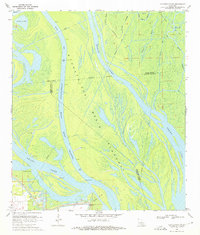
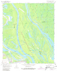
Editions of this 1970 Centerville NW Map
3 editions found
Other maps of this area

1935 · Chicot Lake
USGS Topo · 1:62,500

1937 · Jeanerette
USGS Topo · 1:62,500

1941 · Loreauville
USGS Topo · 1:62,500

1945 · New Orleans
USGS Topo · 1:250,000

1948 · Foster
USGS Topo · 1:62,500

1954 · Chicot Lake
USGS Topo · 1:62,500

1954 · Loreauville
USGS Topo · 1:62,500

1954 · Jeanerette
USGS Topo · 1:62,500

1954 · Baton Rouge
USGS Topo · 1:250,000
1955 · Chicot Lake
USGS Topo · 1:62,500