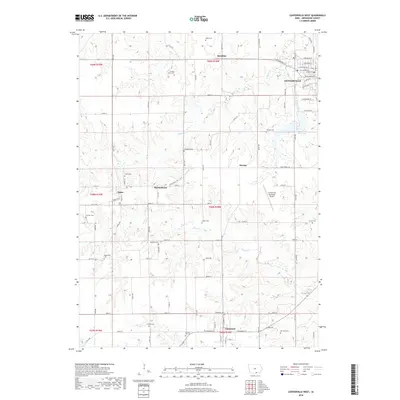
2018 Map of Centerville West
USGS Topo · Published 2018About this map
Centerville anchors the northeastern corner of this Appanoose County landscape, where an orderly grid of streets including W Washington St and W State St meets the rural outskirts of southern Iowa. The terrain is defined by the winding paths of Cooper Cr and Shoal Cr, which carve through the countryside toward the Lower City Reservoir. Small settlements like Cincinnati, Numa, and Martinstown are linked by a network of county roads and avenues, such as County Road J46.
Find a feature on this map
94 named features on this map. Tap any name to fly to it.
Don’t see what you’re looking for? This feature index may not catch every label — zoom into the map to look around manually.
Map Details
Editions of this 2018 Centerville West Map
This is the sole edition of this map. No revisions or reprints were ever made.
Other maps of this area

1935 · Russell
USGS Topo · 1:62,500

1938 · Russell
USGS Topo · 1:62,500

1939 · Centerville
USGS Topo · 1:62,500

1939 · Mystic
USGS Topo · 1:62,500

1941 · Centerville
USGS Topo · 1:62,500

1942 · Mystic
USGS Topo · 1:62,500

1942 · Seymour
USGS Topo · 1:62,500

1944 · Seymour
USGS Topo · 1:62,500

1954 · Centerville
USGS Topo · 1:250,000

1957 · Centerville
USGS Topo · 1:250,000