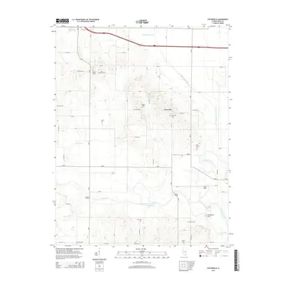
2015 Map of Centerville
USGS Topo · Published 2015About this map
The Little Wabash River and Skillet Fork converge in this southeastern Illinois landscape, creating a complex network of waterways that includes the Schoemann Cutoff and several drainage ditches. The settlement of Centerville serves as a central point, surrounded by a high density of small family and community burial grounds such as the Ralls Family Cem, Old Bethel Cem, and Mount Pleasant Cem. These sites, along with the Hadden Cem and Rebstock Cem further south, provide significant genealogical markers for the region.
Find a feature on this map
43 named features on this map. Tap any name to fly to it.
Don’t see what you’re looking for? This feature index may not catch every label — zoom into the map to look around manually.
Map Details
Editions of this 2015 Centerville Map
This is the sole edition of this map. No revisions or reprints were ever made.
Other maps of this area

1940 · Carmi
USGS Topo · 1:62,500

1941 · Enfield
USGS Topo · 1:62,500

1943 · Carmi
USGS Topo · 1:62,500

1943 · Albion
USGS Topo · 1:62,500

1944 · Enfield
USGS Topo · 1:62,500

1946 · Albion
USGS Topo · 1:62,500

1948 · Fairfield
USGS Topo · 1:62,500

1958 · Belleville
USGS Topo · 1:250,000
1959 · Maunie
USGS Topo · 1:24,000

1962 · Belleville
USGS Topo · 1:250,000