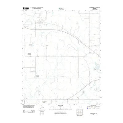
2010 Map of Centrahoma
USGS Topo · Published 2010About this map
Centrahoma serves as the primary hub in this Coal County landscape, where the intersection of Old State Hwy 3 and Broadway anchors the local street grid. The surrounding countryside is defined by an intricate network of waterways, including Peach Creek, Owl Creek, and the extensive Little Caney Boggy Creek drainage. These water resources are managed by numerous flood control structures such as Leader Middle Clear Boggy Creek 36 Dam and the Caney-Coon Creek Site 1 Dam.
Find a feature on this map
49 named features on this map. Tap any name to fly to it.
Don’t see what you’re looking for? This feature index may not catch every label — zoom into the map to look around manually.
Map Details
Editions of this 2010 Centrahoma Map
This is the sole edition of this map. No revisions or reprints were ever made.
Other maps of this area

1896 · Coalgate
USGS Topo · 1:125,000

1899 · Coalgate
USGS Topo · 1:125,000

1899 · Atoka
USGS Topo · 1:125,000

1900 · Atoka
USGS Topo · 1:125,000

1900 · Coalgate
USGS Topo · 1:125,000

1957 · Coalgate
USGS Topo · 1:24,000

1957 · Lehigh
USGS Topo · 1:24,000

1957 · Centrahoma
USGS Topo · 1:24,000

1957 · Tupelo NE
USGS Topo · 1:24,000

1957 · Ardmore
USGS Topo · 1:250,000