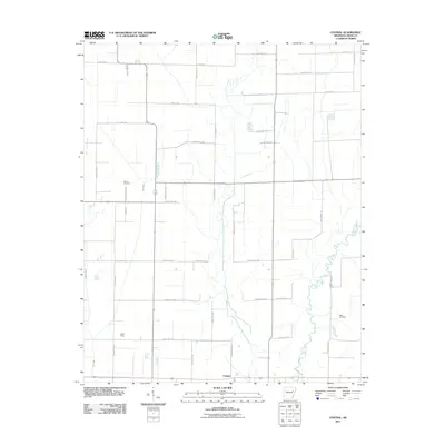
2011 Map of Central
USGS Topo · Published 2011About this map
The L'Anguille River meanders through the eastern portion of this Cross County landscape, defining the local drainage alongside First Creek and Second Creek. In the early 21st century, this area of Arkansas remains characterized by its systematic grid of rural roads and agricultural plots, punctuated by small settlements like Central in the south. The transportation network reveals much about the local history, featuring names that suggest past utility or land ownership, such as the Lost Mail Rte, Airstrip Rd, and Slocum Cemetery Rd.
Find a feature on this map
45 named features on this map. Tap any name to fly to it.
Don’t see what you’re looking for? This feature index may not catch every label — zoom into the map to look around manually.
Map Details
Editions of this 2011 Central Map
This is the sole edition of this map. No revisions or reprints were ever made.
Other maps of this area

1939 · Vanndale
USGS Topo · 1:62,500

1939 · Wynne
USGS Topo · 1:62,500

1939 · Hunter
USGS Topo · 1:62,500

1940 · Tilton
USGS Topo · 1:62,500

1953 · Memphis
USGS Topo · 1:250,000

1956 · Memphis
USGS Topo · 1:250,000

1956 · Tilton
USGS Topo · 1:62,500

1956 · Hunter
USGS Topo · 1:62,500

1958 · Hunter
USGS Topo · 1:62,500

1958 · Wynne
USGS Topo · 1:62,500