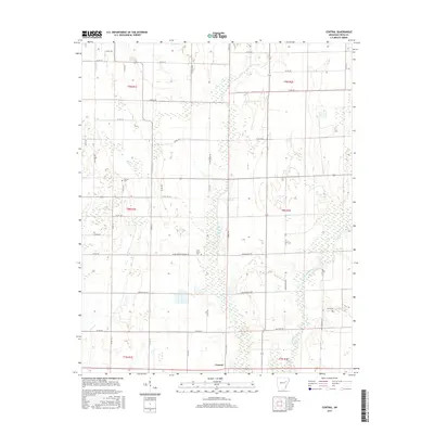
2017 Map of Central
USGS Topo · Published 2017About this map
The L'Anguille River meanders through the eastern portion of this Cross County landscape, shaping a terrain defined by agricultural drainage and rural road networks. In this portion of eastern Arkansas, the community of Central sits near the southern edge, while the historic Lost Mail Rte hints at the region's earlier transportation history. The map serves as a detailed record of local family and community landmarks, featuring several well-distributed burial sites such as Union Grove Cem, Slocum Cem, and Hawk Cem. The grid of section lines is punctuated by several namesake thoroughfares including Edward Hess Rd, Boeckmann Loop, and J B Vannaman Rd, reflecting the deep-rooted landownership patterns of the late twentieth and early twenty-first centuries. Waterways like First Cr further define the local hydrology in this Delta-adjacent territory.
Find a feature on this map
51 named features on this map. Tap any name to fly to it.
Don’t see what you’re looking for? This feature index may not catch every label — zoom into the map to look around manually.
Map Details
Editions of this 2017 Central Map
This is the sole edition of this map. No revisions or reprints were ever made.
Other maps of this area

1939 · Vanndale
USGS Topo · 1:62,500

1939 · Wynne
USGS Topo · 1:62,500

1939 · Hunter
USGS Topo · 1:62,500

1940 · Tilton
USGS Topo · 1:62,500

1953 · Memphis
USGS Topo · 1:250,000

1956 · Memphis
USGS Topo · 1:250,000

1956 · Tilton
USGS Topo · 1:62,500

1956 · Hunter
USGS Topo · 1:62,500

1958 · Hunter
USGS Topo · 1:62,500

1958 · Wynne
USGS Topo · 1:62,500