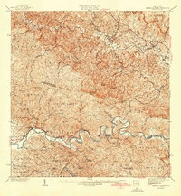
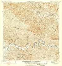
1942 Map of Central La Plata
USGS Topo · Published 1942About this map
The agricultural landscape of Central La Plata is defined by a dense network of mountain barrios and industrial estates surveyed in the years before World War II. Large estates such as Hacienda Morales, Hacienda Lamberti, and Hacienda Esperanza anchor the rural economy, while the Escuela Segunda Unidad de Anones serves the inland communities. The winding course of the Rio Grande de Añasco and the Rio Culebrinas cut through the complex topography of peaks like Cerro Pelao and Cerro Pichon. Local transportation routes include the Camino del Indio and Vereda 1, which connect the various haciendas and fincas to the municipal boundaries of San Sebastian, Moca, and Añasco.
Find a feature on this map
62 named features on this map. Tap any name to fly to it.
Don’t see what you’re looking for? This feature index may not catch every label — zoom into the map to look around manually.
Map Details
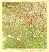
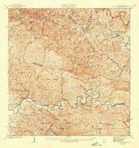
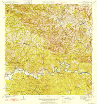
Editions of this 1942 Central La Plata Map
6 editions found

Other maps of this area

1937 · Aguadilla
USGS Topo · 1:20,000

1937 · Moca
USGS Topo · 1:20,000

1938 · Alto Sano
USGS Topo · 1:20,000

1938 · San Sebastian
USGS Topo · 1:20,000

1938 · Quebradillas
USGS Topo · 1:20,000

1939 · Mayaguez
USGS Topo · 1:30,000

1941 · Moca
USGS Topo · 1:30,000

1941 · Rincon
USGS Topo · 1:30,000

1941 · Rincon
USGS Topo · 1:30,000

1941 · San Sebastian
USGS Topo · 1:30,000
Featured Places
- Sector Serrano, San Sebastián
- Sector La Grúa, Añasco
- Sector Los Crespos, San Sebastián
- Sector Ramos, San Sebastián
- Sector Los Ramos, Moca