
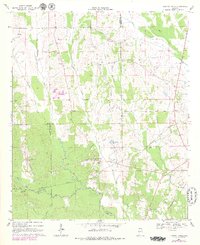
1968 Map of Central Mills
USGS Topo · Published 1971About this map
Central Mills sits at the heart of this Black Belt landscape, serving as a focal point where the local road network meets the Louisville and Nashville Railroad. The late 1960s terrain is defined by the winding course of Chilatchee Creek and its many tributaries, including Little Chilatchee Creek and Rogers Creek. This rural section of Dallas and Perry counties is anchored by numerous country churches that serve as community landmarks, such as Shady Grove Ch and Christian Light Ch. Small-scale water features like Bon-Aire Lake and names such as Blalock reflect a pattern of dispersed agricultural settlement and timberlands. The convergence of the Southern Railroad with other lines at the southern end of the sheet illustrates the era's reliance on rail transport for moving local resources through Carleys and toward larger markets.
Find a feature on this map
30 named features on this map. Tap any name to fly to it.
Don’t see what you’re looking for? This feature index may not catch every label — zoom into the map to look around manually.
Map Details
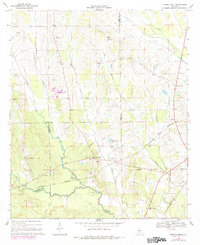
Editions of this 1968 Central Mills Map
3 editions found
Other maps of this area

1953 · Montgomery
USGS Topo · 1:250,000

1956 · Montgomery
USGS Topo · 1:250,000

1957 · Montgomery
USGS Topo · 1:250,000

1968 · Thomaston East
USGS Topo · 1:24,000

1968 · Uniontown West
USGS Topo · 1:24,000

1968 · Uniontown East
USGS Topo · 1:24,000

1968 · Browns
USGS Topo · 1:24,000

1968 · Safford
USGS Topo · 1:24,000

1974 · Crumptonia
USGS Topo · 1:24,000

1974 · Catherine
USGS Topo · 1:24,000