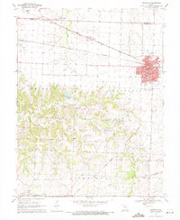
1969 Map of Centralia
USGS Topo · Published 1971About this map
Centralia serves as the primary hub of this landscape, situated at the intersection of the Gulf Mobile and Ohio and Norfolk and Western railroads. This rail junction defined the town's grid, with streets like Switzler St and Columbia Ave radiating from the tracks. The surrounding rural landscape is divided between the townships of Saling, Bourbon, and Rocky Fork, where the terrain is marked by the winding courses of Silver Fork and Little Silver Fork.
Find a feature on this map
47 named features on this map. Tap any name to fly to it.
Don’t see what you’re looking for? This feature index may not catch every label — zoom into the map to look around manually.
Map Details
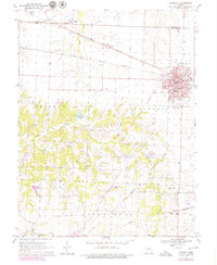
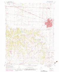
Editions of this 1969 Centralia Map
3 editions found
Other maps of this area

1890 · Moberly
USGS Topo · 1:125,000

1917 · Sturgeon
USGS Topo · 1:62,500

1945 · Centralia
USGS Topo · 1:62,500

1953 · Moberly
USGS Topo · 1:250,000

1953 · Clark
USGS Topo · 1:24,000

1954 · Moberly
USGS Topo · 1:250,000

1957 · Moberly
USGS Topo · 1:250,000

1958 · Tulip
USGS Topo · 1:24,000

1960 · Moberly
USGS Topo · 1:250,000
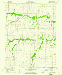
1960 · Rowena
USGS Topo · 1:24,000