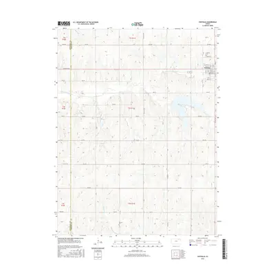
2016 Map of Centralia
USGS Topo · Published 2016About this map
Centralia serves as the primary hub of this eastern Kansas landscape, situated near the headwaters of the Black Vermillion River. The town's grid is clearly defined by historical thoroughfares such as Main St, Commercial St, and Railroad Ave, reflecting its origins as a rail-adjacent community. The surrounding countryside is divided by a rigorous section-line road network, including names like Sunflower Rd and Wildcat Rd, which cut across the drainage basins of Mulberry Cr, French Cr, and Gibson Cr. Genealogists will find the locations of Centralia Cem and Mulberry Cem essential for local family research. The terrain is characterized by gentle transitions from high prairie ridges down into the small creek valleys that feed the larger river system, providing a clear picture of rural land use in Marshall and Nemaha counties.
Find a feature on this map
32 named features on this map. Tap any name to fly to it.
Don’t see what you’re looking for? This feature index may not catch every label — zoom into the map to look around manually.
Map Details
Editions of this 2016 Centralia Map
This is the sole edition of this map. No revisions or reprints were ever made.
Other maps of this area

1889 · Seneca
USGS Topo · 1:125,000

1894 · Seneca
USGS Topo · 1:125,000

1955 · Manhattan
USGS Topo · 1:250,000

1956 · Manhattan
USGS Topo · 1:250,000

1957 · Manhattan
USGS Topo · 1:250,000

1966 · Baileyville
USGS Topo · 1:24,000

1966 · Axtell
USGS Topo · 1:24,000
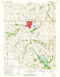
1966 · Seneca
USGS Topo · 1:24,000
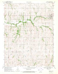
1969 · Centralia
USGS Topo · 1:24,000
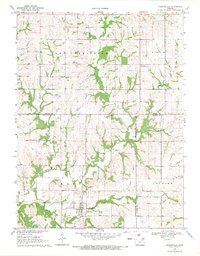
1969 · Havensville
USGS Topo · 1:24,000