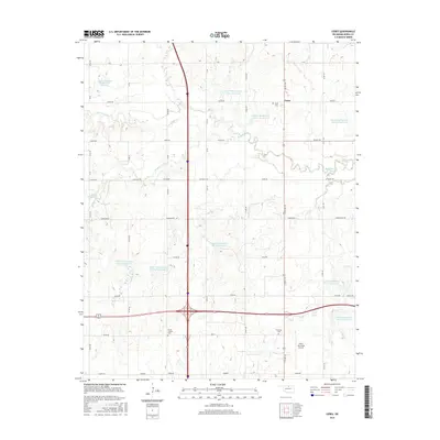
2016 Map of Ceres
USGS Topo · Published 2016About this map
Ceres serves as the focal point for this Noble County landscape, where the rural grid is defined by a complex network of water management and local cemeteries. The terrain is notably marked by numerous flood control structures along Red Rock Cr and its tributaries, including Upper Red Rock Cr Site 1 Reservoir and Lower Red Rock Cr Site 16 Reservoir. These man-made features overlay an older pattern of settlement evidenced by historic burial grounds such as Bohemian Cem, Mount Carmel Cem, and the Ceres Cem. To the south, the Perry Municipal Airport occupies a significant tract of land, while the section-line road system, including Pioneer and Valley Rd, continues to anchor the agricultural community. The map provides a clear look at how drainage basins like Hackberry Cr and Grassy Cr have been engineered to support the surrounding plains.
Find a feature on this map
44 named features on this map. Tap any name to fly to it.
Don’t see what you’re looking for? This feature index may not catch every label — zoom into the map to look around manually.
Map Details
Editions of this 2016 Ceres Map
This is the sole edition of this map. No revisions or reprints were ever made.
Other maps of this area

1955 · Enid
USGS Topo · 1:250,000

1958 · Enid
USGS Topo · 1:250,000

1968 · Billings
USGS Topo · 1:24,000

1968 · Tonkawa SE
USGS Topo · 1:24,000

1968 · Marland
USGS Topo · 1:24,000

1972 · Perry NW
USGS Topo · 1:24,000

1972 · Red Rock
USGS Topo · 1:24,000

1972 · Ceres
USGS Topo · 1:24,000

1972 · Perry
USGS Topo · 1:24,000

1972 · Lucien
USGS Topo · 1:24,000