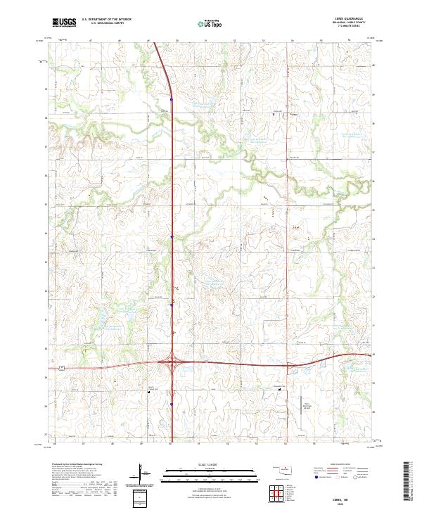
2022 Map of Ceres
USGS Topo · Published 2022About this map
Ceres and the surrounding plains of Noble County are defined by a sophisticated network of water management and rural homesteads. This landscape is marked by numerous flood control structures, including the Upper Red Rock Cr Site 2 Reservoir and Lower Red Rock Cr Site 13 Reservoir, which speak to the area's agricultural engineering. The small settlement of Ceres remains a central point for the local community, anchored by the nearby Ceres Cem. Genealogy researchers will find several significant burial grounds across the township lines, such as Bohemian Cem and Mount Carmel Cem, reflecting the diverse immigrant heritage of the Oklahoma prairie. The southern portion of the quadrangle is notably occupied by the Perry Municipal Airport, while creeks like Hackberry Cr and Doe Cr meander through the sections, following the natural drainage of the Red Rock Creek watershed.
Find a feature on this map
49 named features on this map. Tap any name to fly to it.
Don’t see what you’re looking for? This feature index may not catch every label — zoom into the map to look around manually.
Map Details
Editions of this 2022 Ceres Map
This is the sole edition of this map. No revisions or reprints were ever made.
Other maps of this area

1955 · Enid
USGS Topo · 1:250,000

1958 · Enid
USGS Topo · 1:250,000

1968 · Billings
USGS Topo · 1:24,000

1968 · Tonkawa SE
USGS Topo · 1:24,000

1968 · Marland
USGS Topo · 1:24,000

1972 · Perry NW
USGS Topo · 1:24,000

1972 · Red Rock
USGS Topo · 1:24,000

1972 · Ceres
USGS Topo · 1:24,000

1972 · Perry
USGS Topo · 1:24,000

1972 · Lucien
USGS Topo · 1:24,000