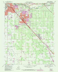
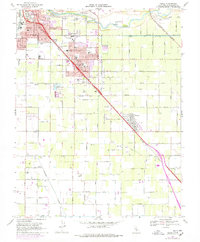
1969 Map of Ceres
USGS Topo · Published 1987About this map
The Tuolumne River winds through this Central Valley landscape, defining the northern border of a region in rapid transition between agriculture and suburban growth. The city of Ceres sits as the central hub, bisected by the Southern Pacific line and State Route 99, while the Atchison Topeka and Santa Fe railroad cuts across the northeast corner near Lakewood Memorial Park. The infrastructure of the late 1960s is on full display, from the Modesto City-County Airport to a dense network of schools such as Modesto Union Academy and John F Kennedy Sch.
Find a feature on this map
50 named features on this map. Tap any name to fly to it.
Don’t see what you’re looking for? This feature index may not catch every label — zoom into the map to look around manually.
Map Details
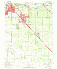
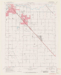
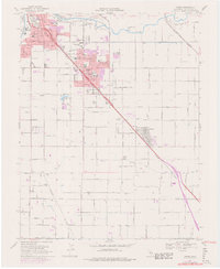
Editions of this 1969 Ceres Map
5 editions found
Other maps of this area

1915 · Westport
USGS Topo · 1:31,680

1915 · Salida
USGS Topo · 1:31,680

1916 · Mitchell School
USGS Topo · 1:31,680

1916 · Crows Landing
USGS Topo · 1:31,680

1916 · Riverbank
USGS Topo · 1:31,680

1916 · Denair
USGS Topo · 1:31,680

1916 · Waterford
USGS Topo · 1:31,680

1916 · Ceres
USGS Topo · 1:31,680

1917 · Turlock
USGS Topo · 1:31,680

1919 · Orestimba
USGS Topo · 1:62,500