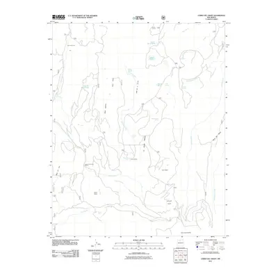
2011 Map of Cerro del Grant
USGS Topo · Published 2011About this map
Cerro del Grant rises above a high-altitude landscape of mesas and drainage basins in Rio Arriba County, defined by its traditional ranching and timber heritage. The industrial footprint of the Upper Coyote Creek Sawmill sits in the shadows of Mesa del Ojo, illustrating the local dependence on the surrounding forests. Water is the primary driver of settlement patterns here, with La Grulla Ranch positioned near the Valle de la Grulla. The terrain is punctuated by numerous seasonal and perennial water sources, including Laguna de los Pinos, Madrid Spring, and the branching tributaries of Coyote Creek. High points like the Encino Lookout provide vantage points over the complex topography of the La Grulla Plateau and Mesa del Medio, where the land falls away toward the Chihuahueños Creek and Rio Cebolla.
Find a feature on this map
37 named features on this map. Tap any name to fly to it.
Don’t see what you’re looking for? This feature index may not catch every label — zoom into the map to look around manually.
Map Details
Editions of this 2011 Cerro del Grant Map
This is the sole edition of this map. No revisions or reprints were ever made.
Other maps of this area

1890 · Jemes
USGS Topo · 1:125,000

1892 · Jemes
USGS Topo · 1:125,000

1892 · Santa Clara
USGS Topo · 1:125,000

1909 · Gallina
USGS Topo · 1:125,000

1918 · Abiquiu
USGS Topo · 1:125,000

1937 · Jemez Springs
USGS Topo · 1:48,000

1944 · Jemez Springs
USGS Topo · 1:62,500

1952 · Valle Toledo
USGS Topo · 1:24,000

1952 · Jemez Springs
USGS Topo · 1:62,500

1953 · Canones
USGS Topo · 1:24,000