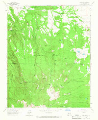
1963 Map of Cerro Pelon
USGS Topo · Published 1966About this map
San Lucas sits in the northwest corner of this 1963 survey, a high-desert landscape defined by complex drainage patterns and dramatic relief. The area was mapped using 1958 aerial photography, showing the transition from the flat tablelands to the deeply incised San Miguel Canyon. Water resources in this arid environment are sparse but critical, marked by features such as CCC Spring, which points to Depression-era infrastructure projects carried out by the Civilian Conservation Corps. This map captures the topography of the Cibola National Forest before modern development, preserving the locations of springs and canyons that have long served as landmarks for cattle ranching and local land management in this part of New Mexico.
Find a feature on this map
3 named features on this map. Tap any name to fly to it.
Don’t see what you’re looking for? This feature index may not catch every label — zoom into the map to look around manually.
Map Details
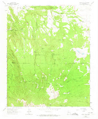
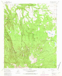
Editions of this 1963 Cerro Pelon Map
3 editions found
Other maps of this area

1883 · Mt. Taylor
USGS Topo · 1:250,000

1886 · Mt. Taylor
USGS Topo · 1:250,000

1892 · Mt. Taylor
USGS Topo · 1:250,000

1899 · Mt. Taylor
USGS Topo · 1:250,000

1957 · Lobo Springs
USGS Topo · 1:24,000

1957 · Mount Taylor
USGS Topo · 1:24,000

1957 · Seboyeta
USGS Topo · 1:24,000

1958 · Albuquerque
USGS Topo · 1:250,000

1961 · El Dado Mesa
USGS Topo · 1:24,000
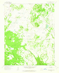
1961 · Laguna Canoneros
USGS Topo · 1:24,000